Rice County Ducks & Bucks Paradise
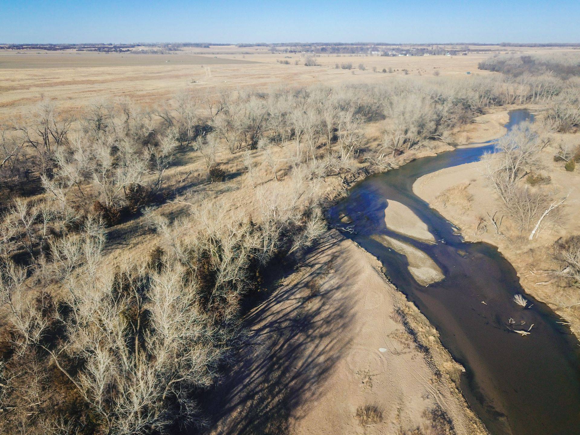
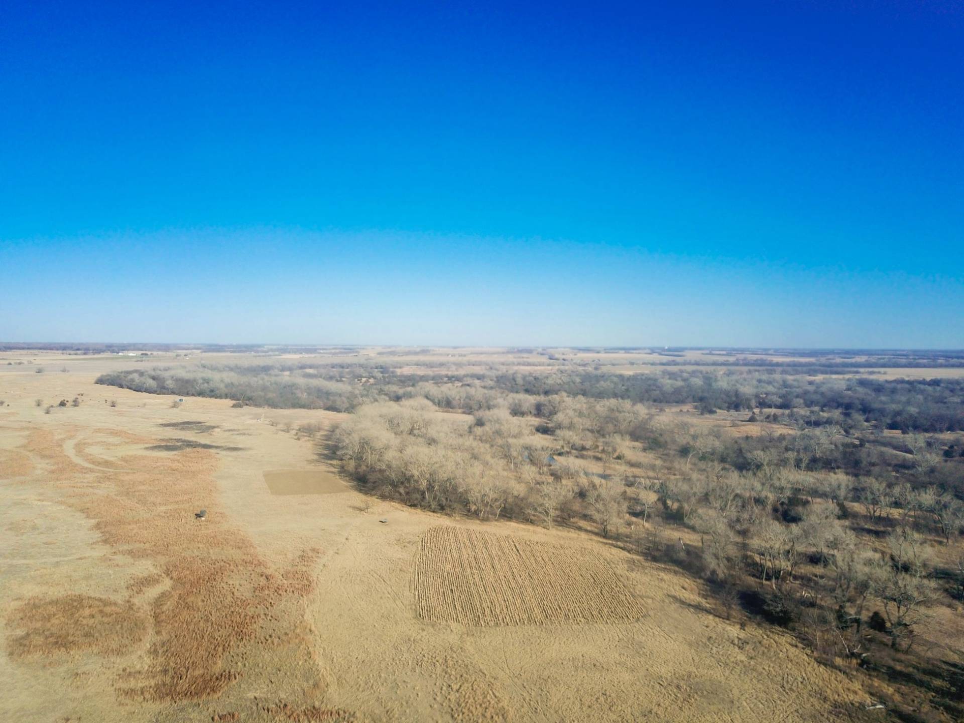
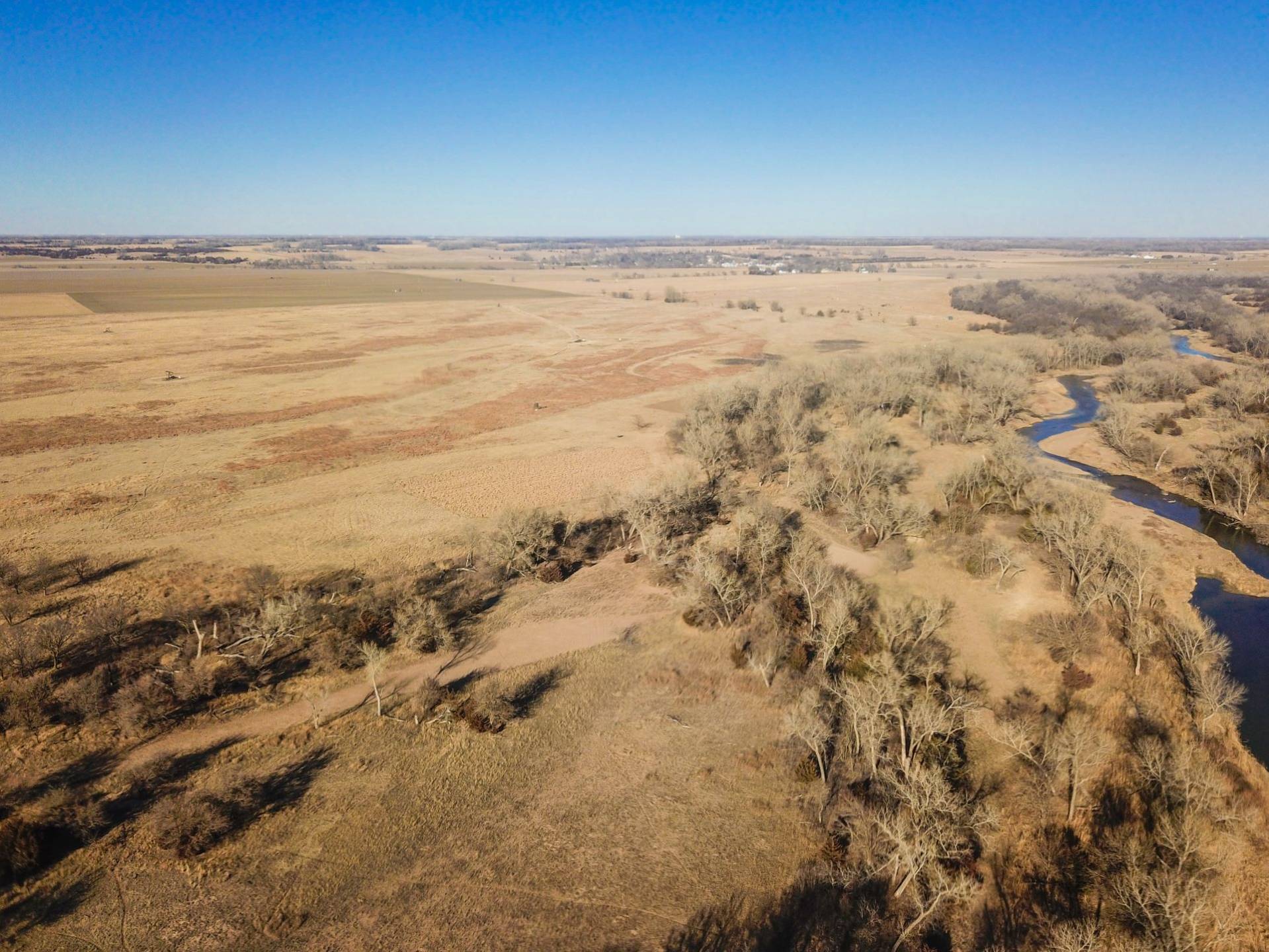
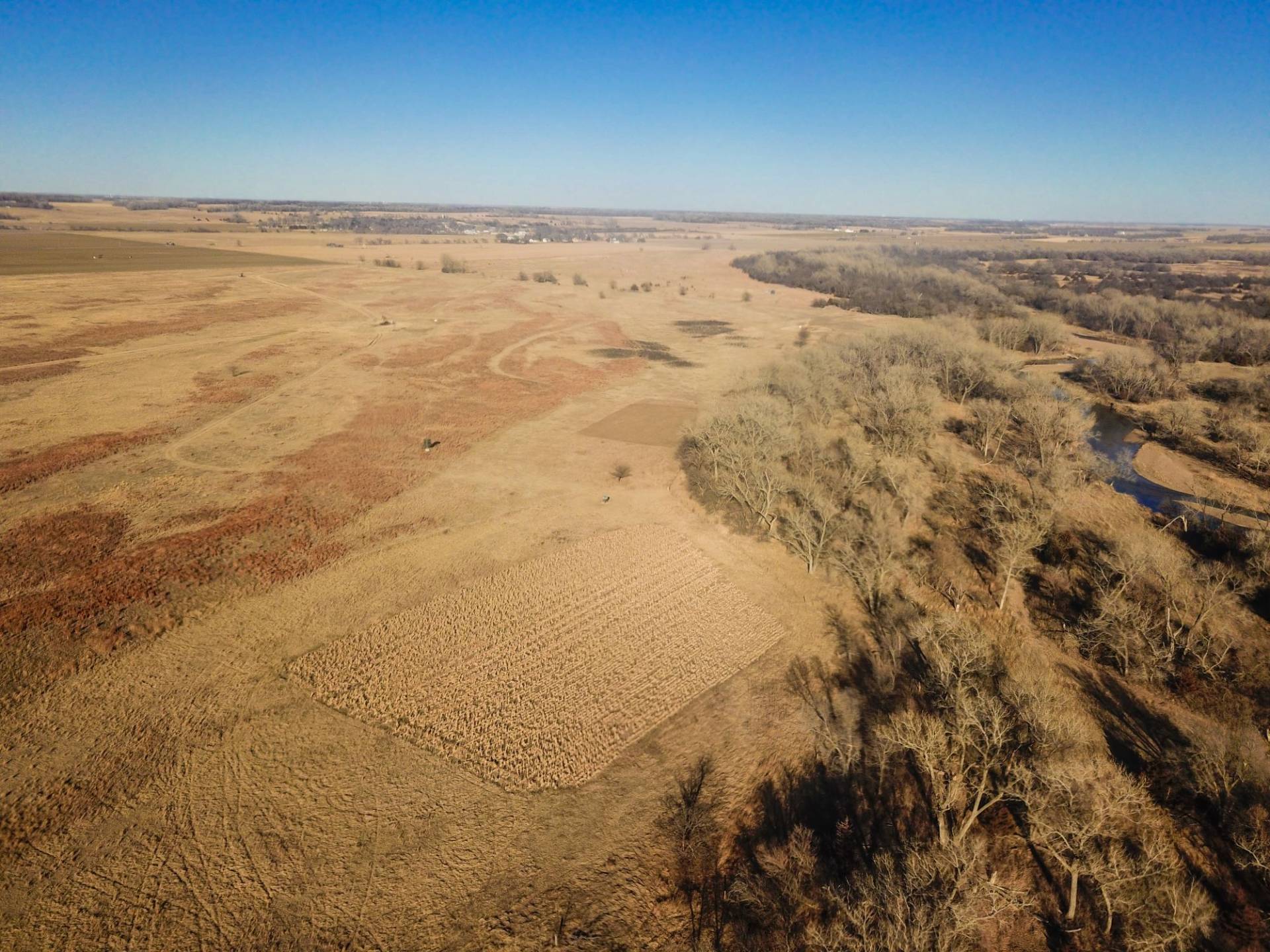
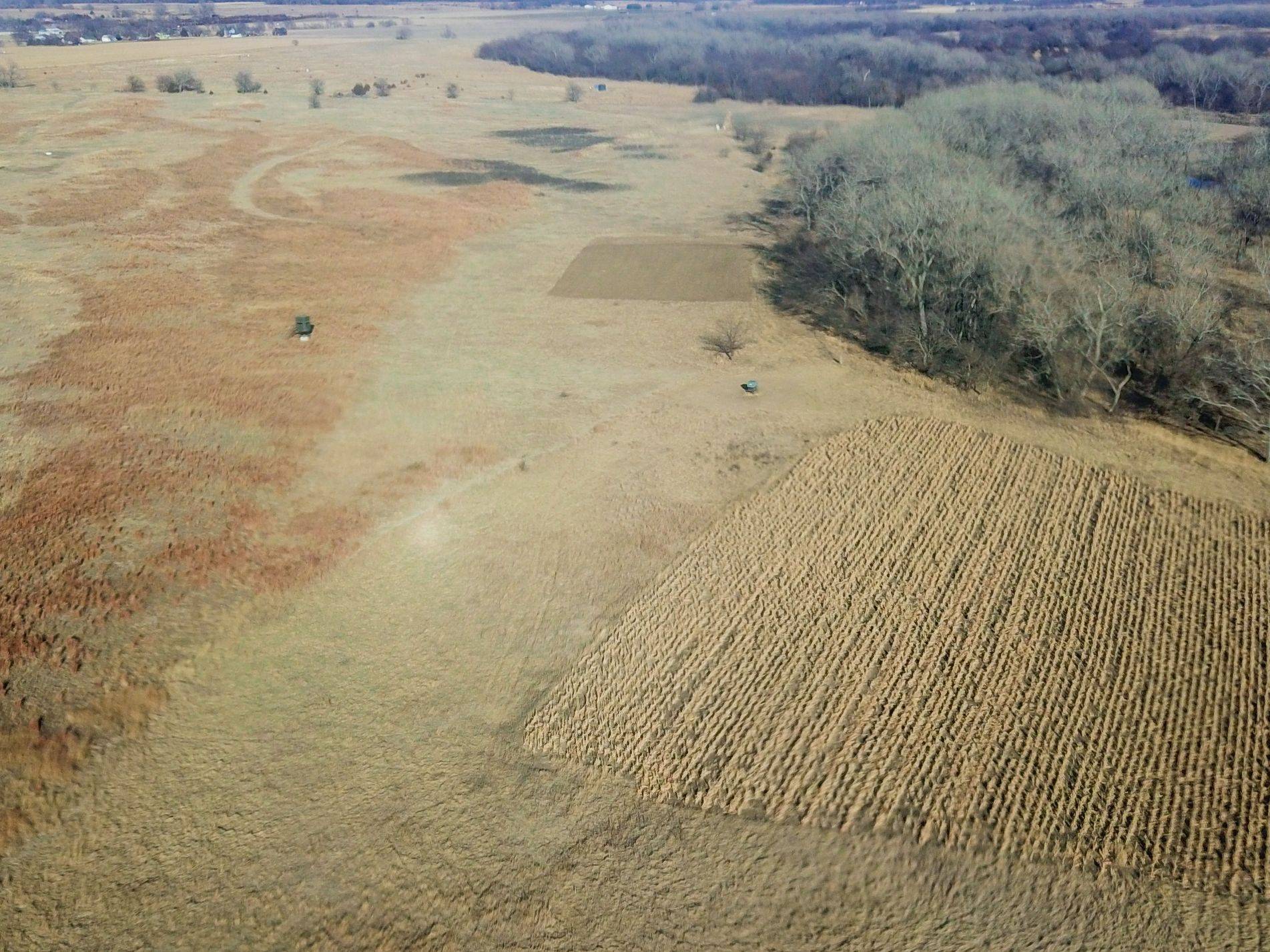
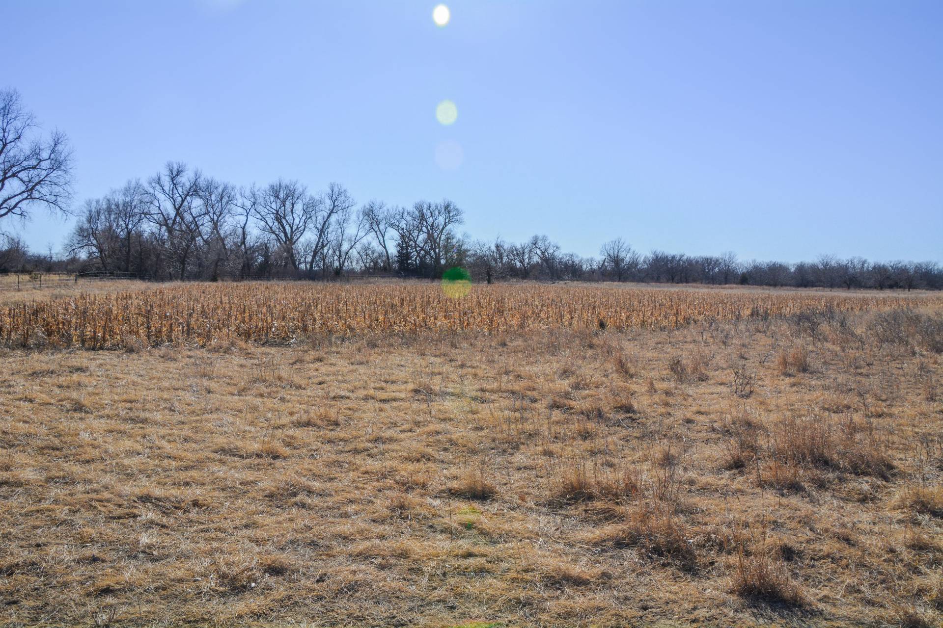
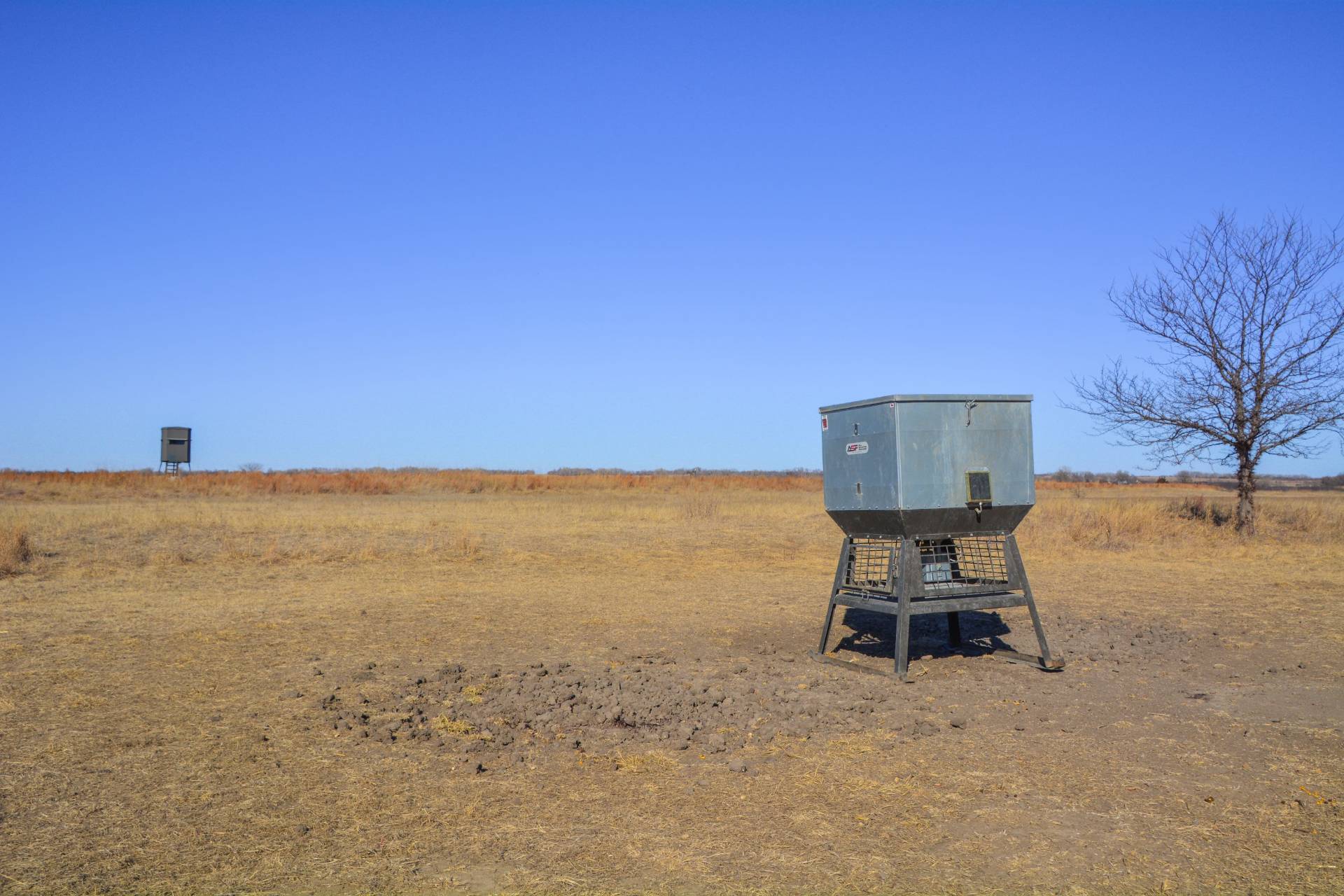
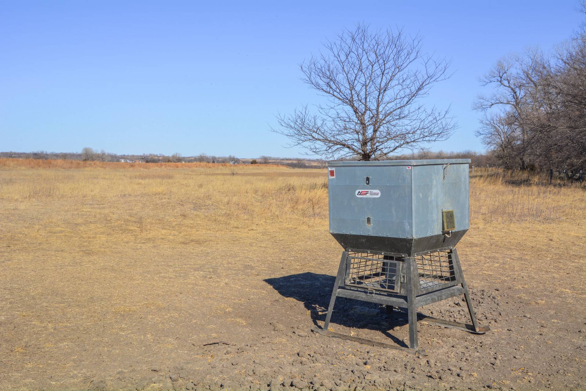
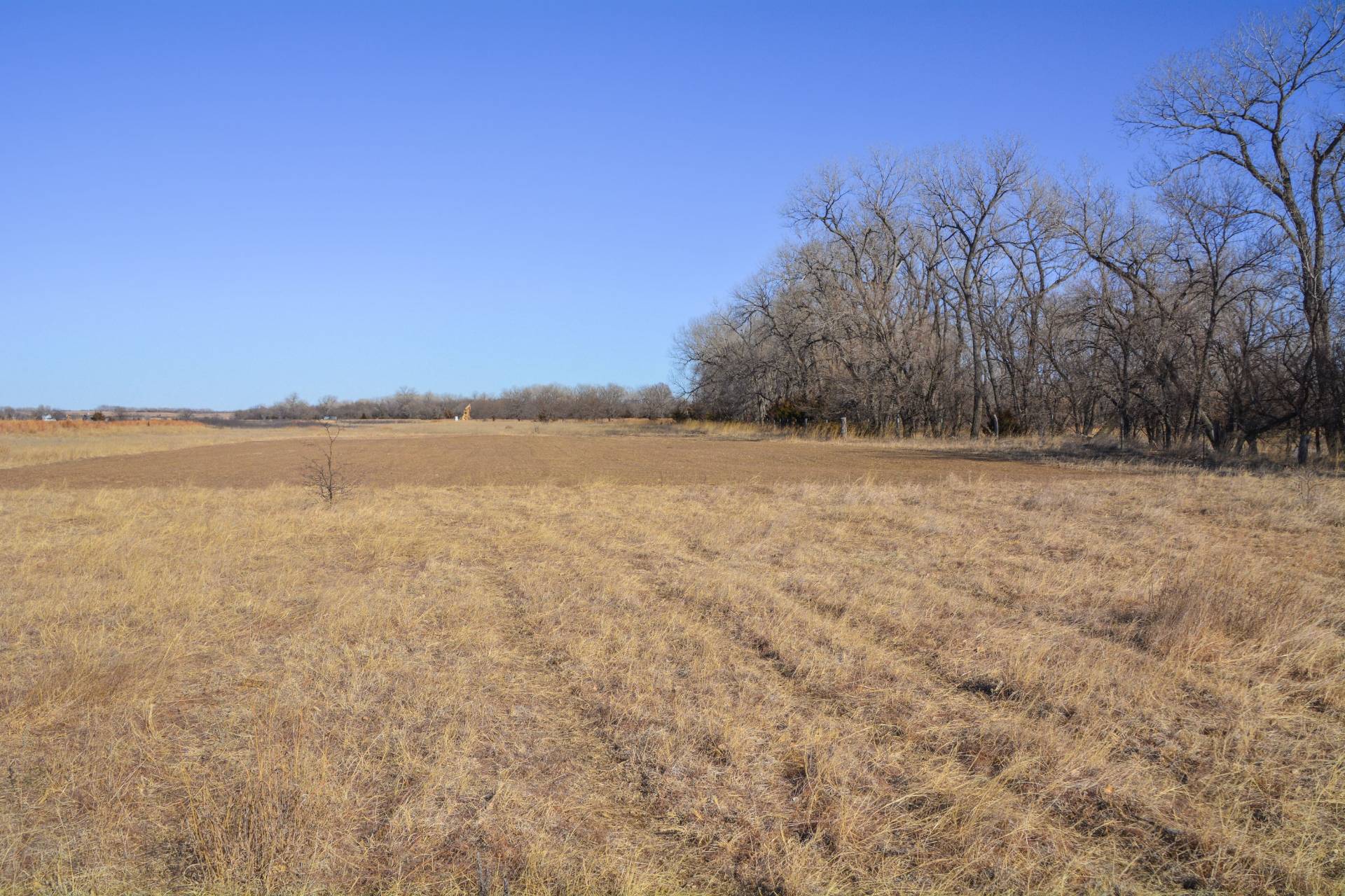
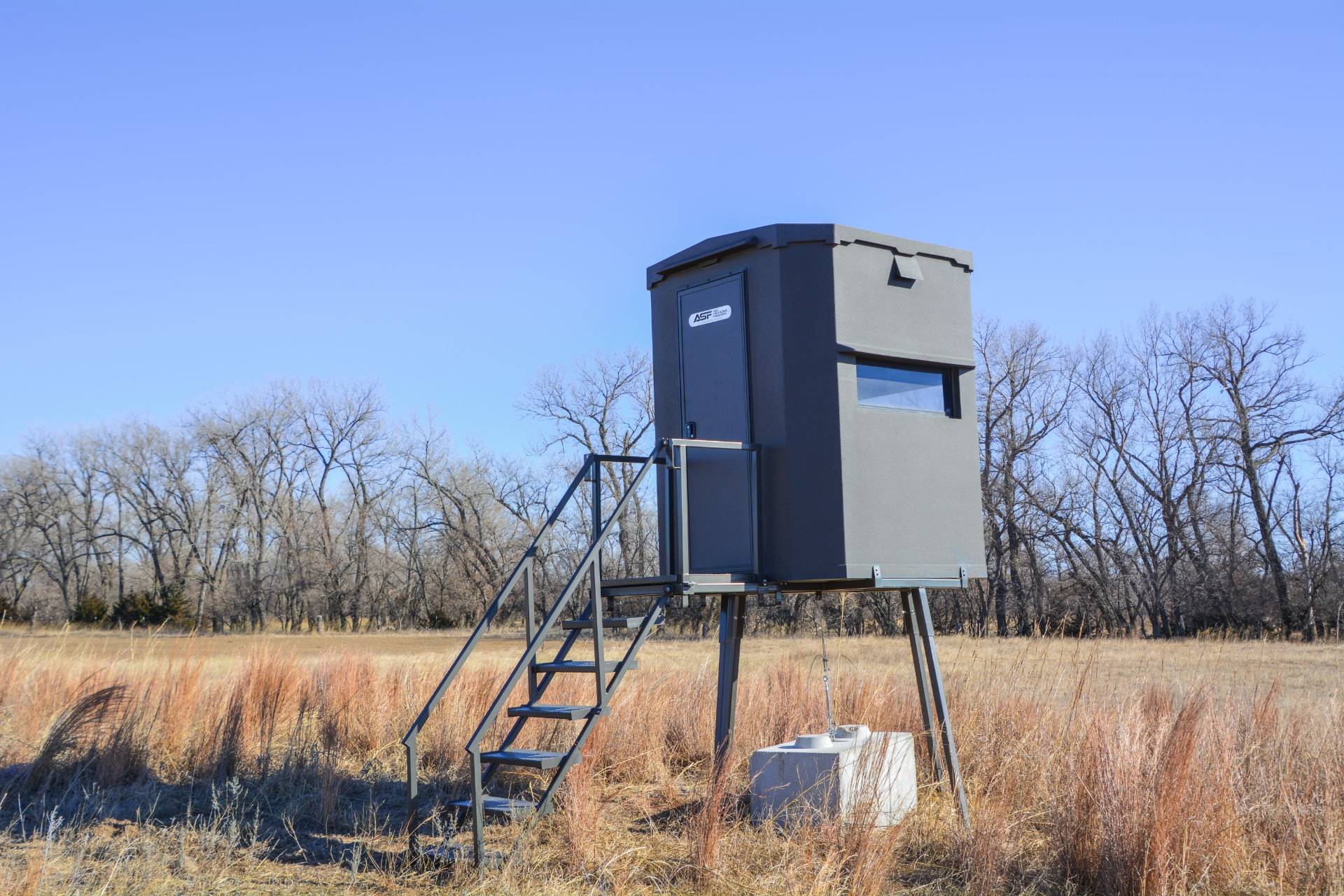
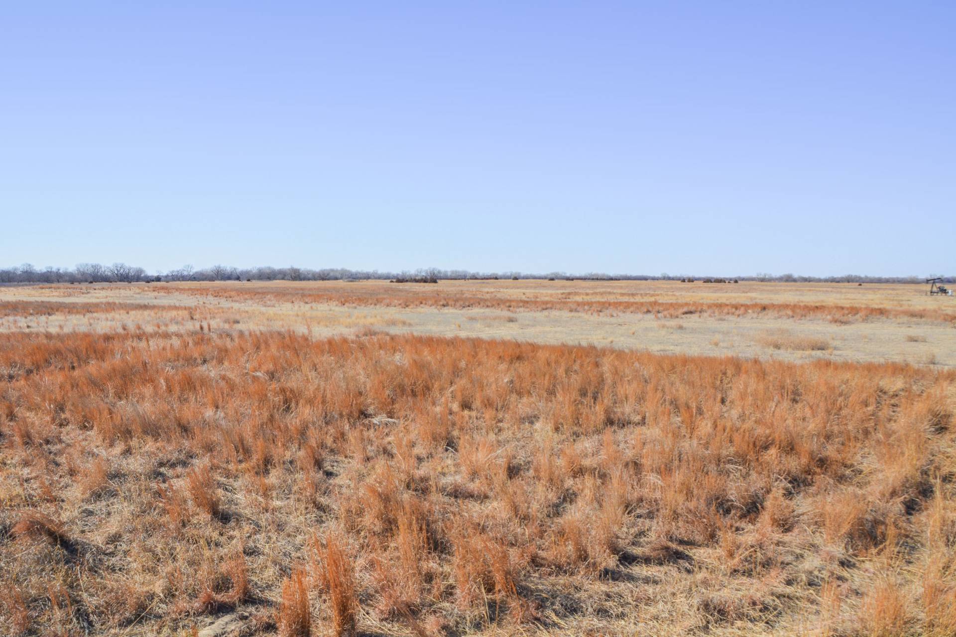
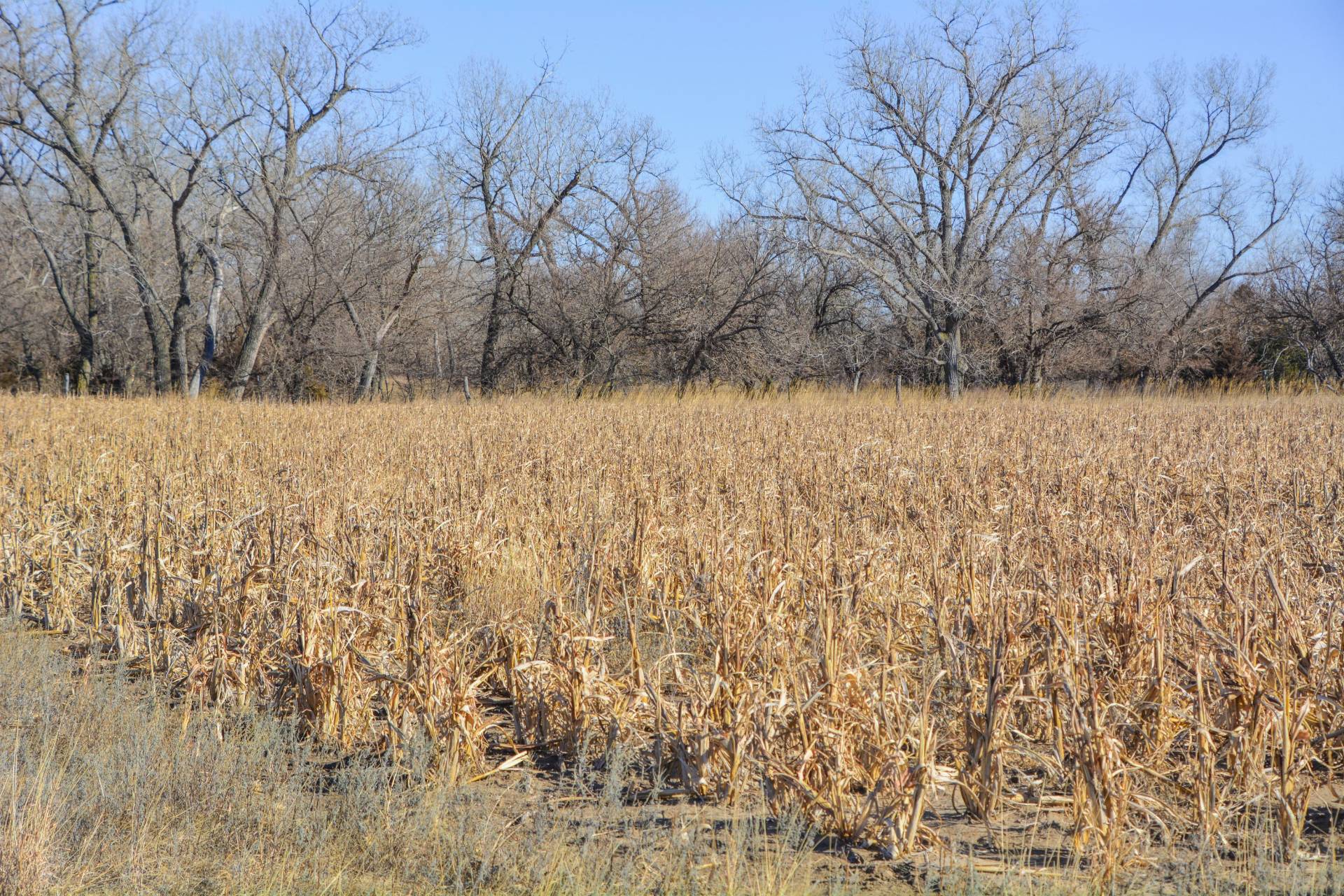
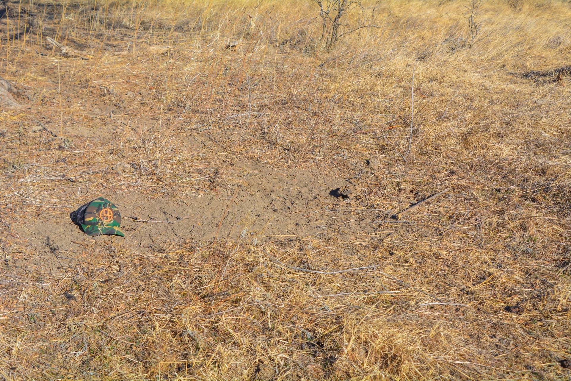
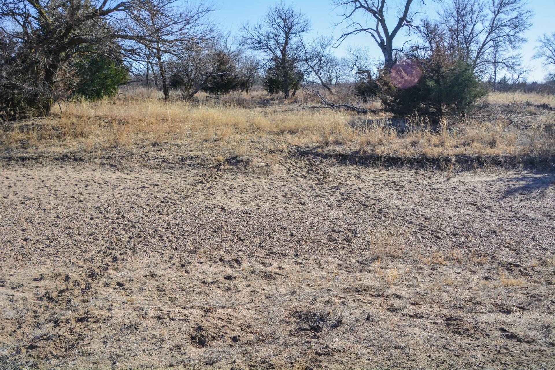
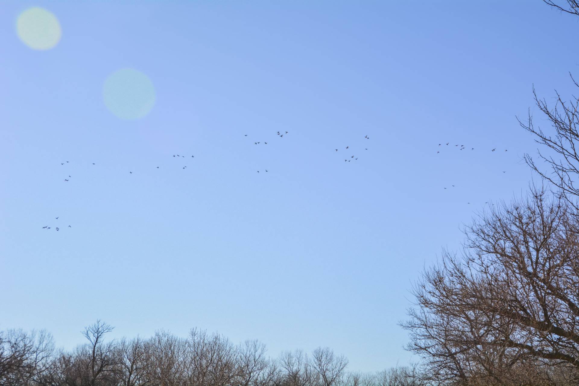
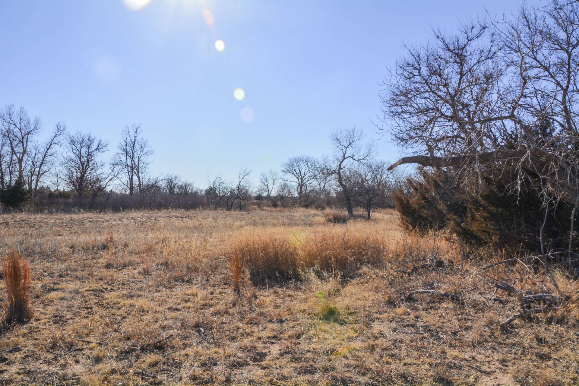
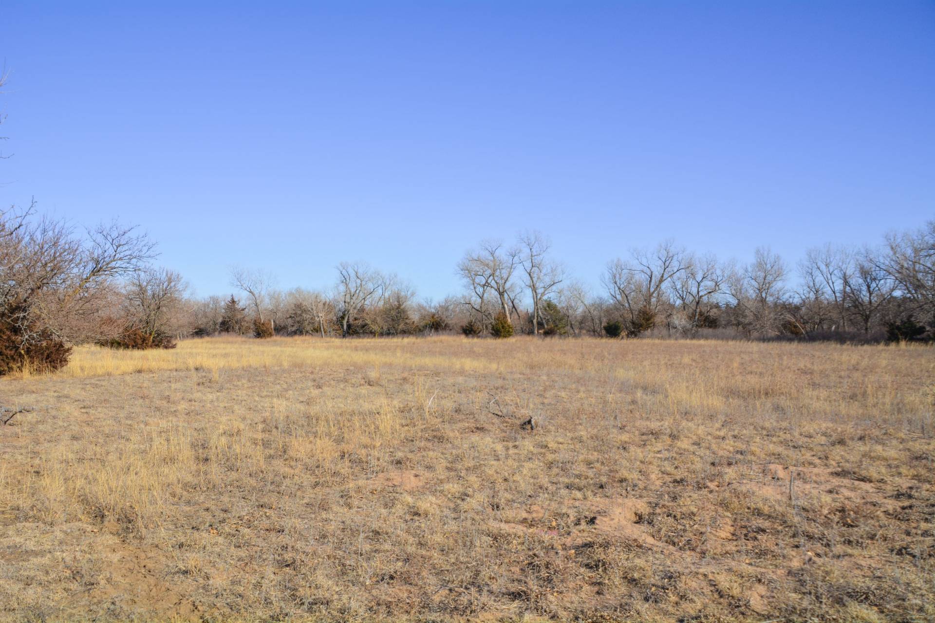
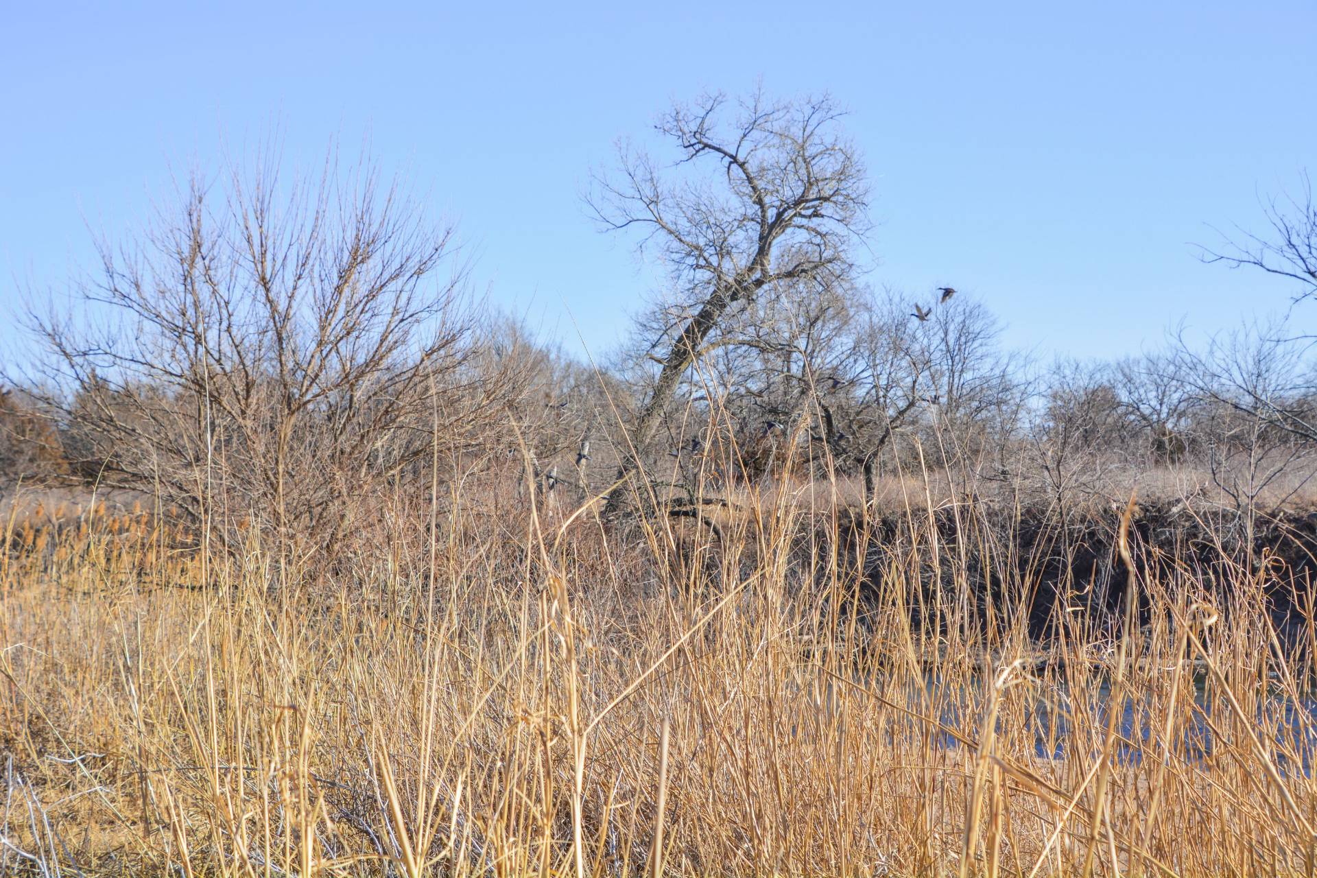
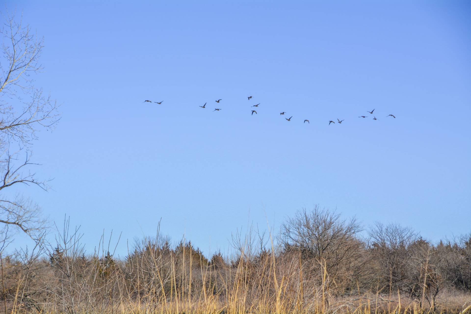
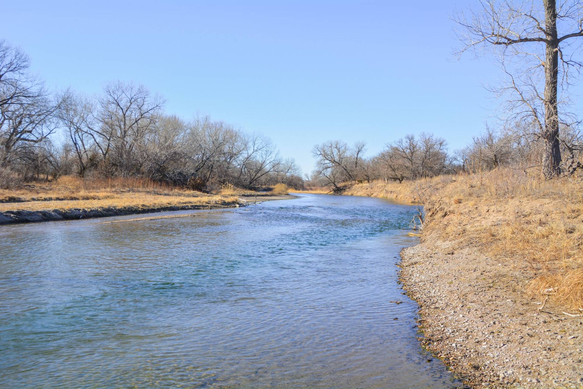
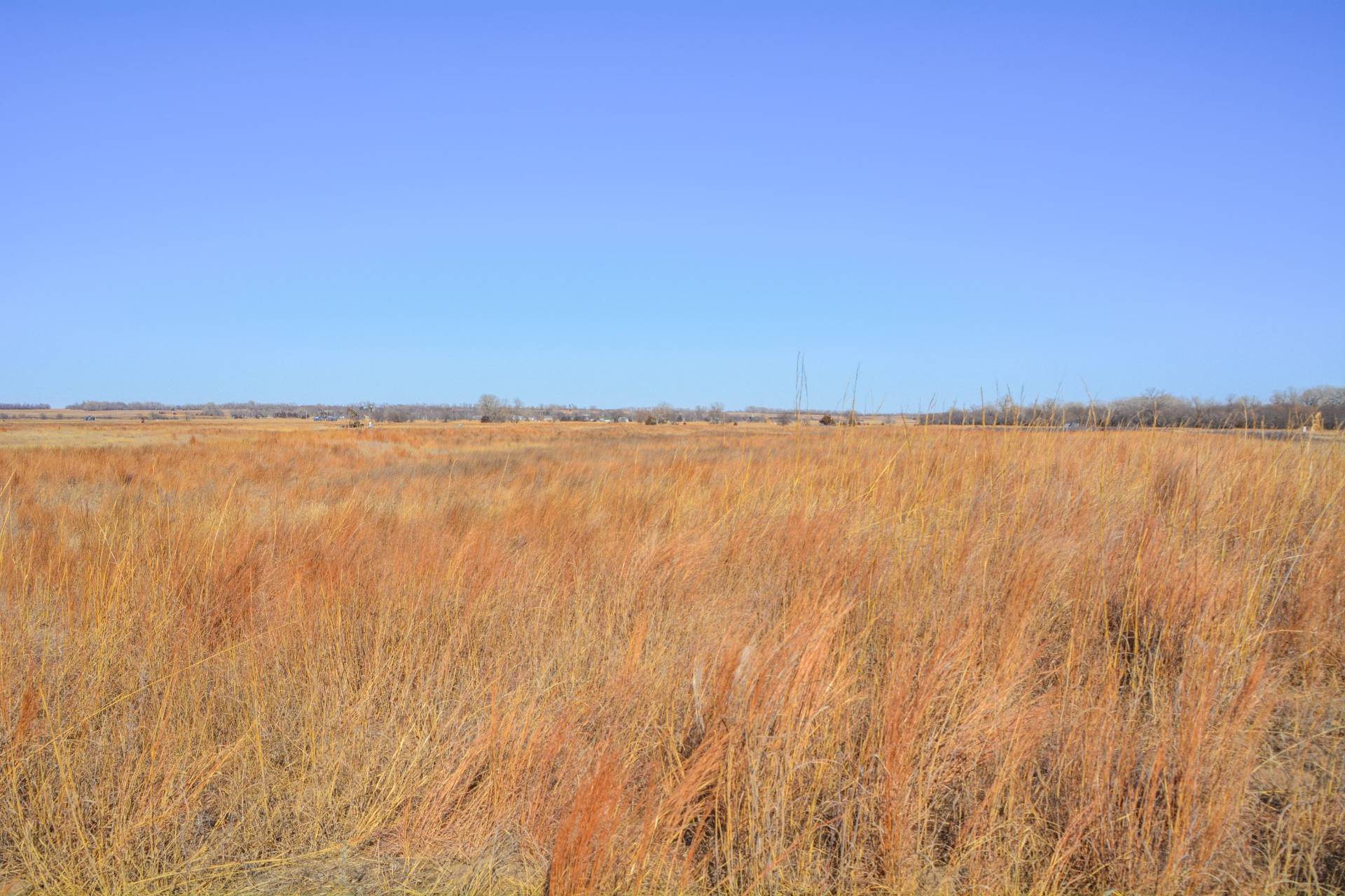
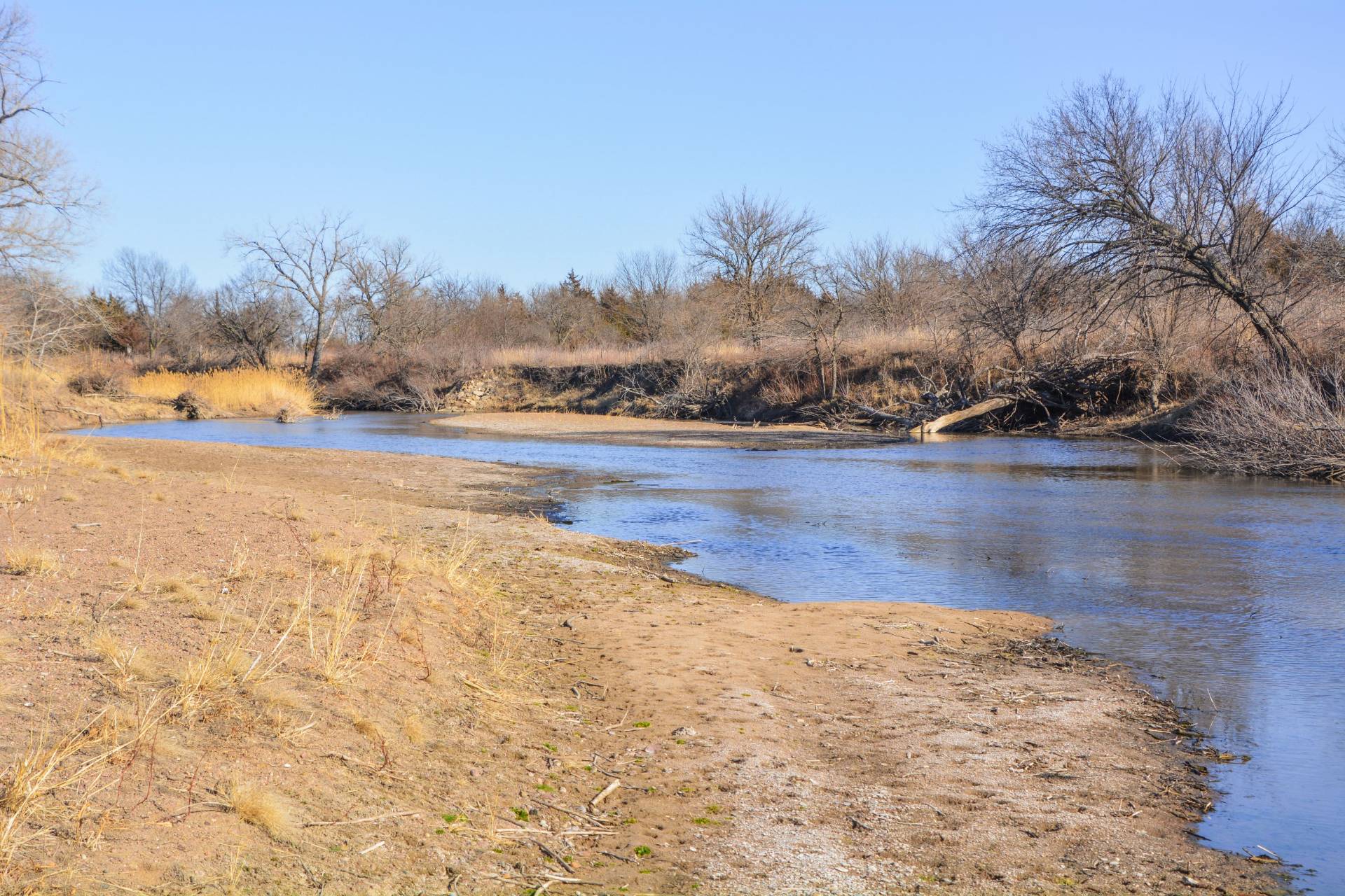
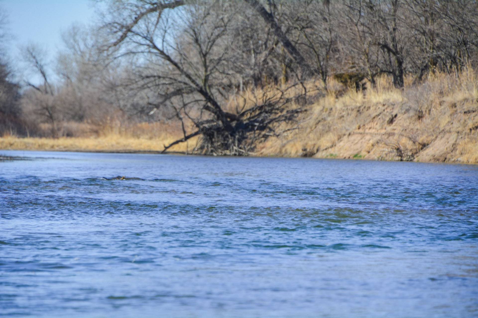
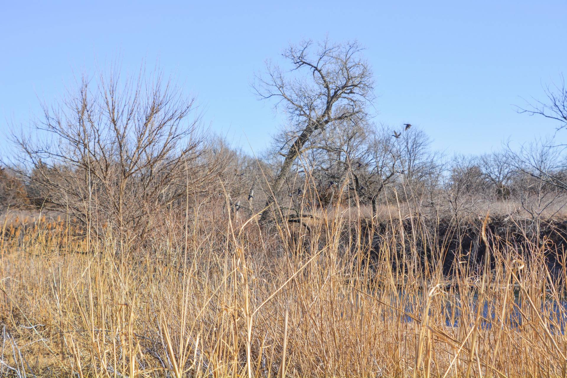
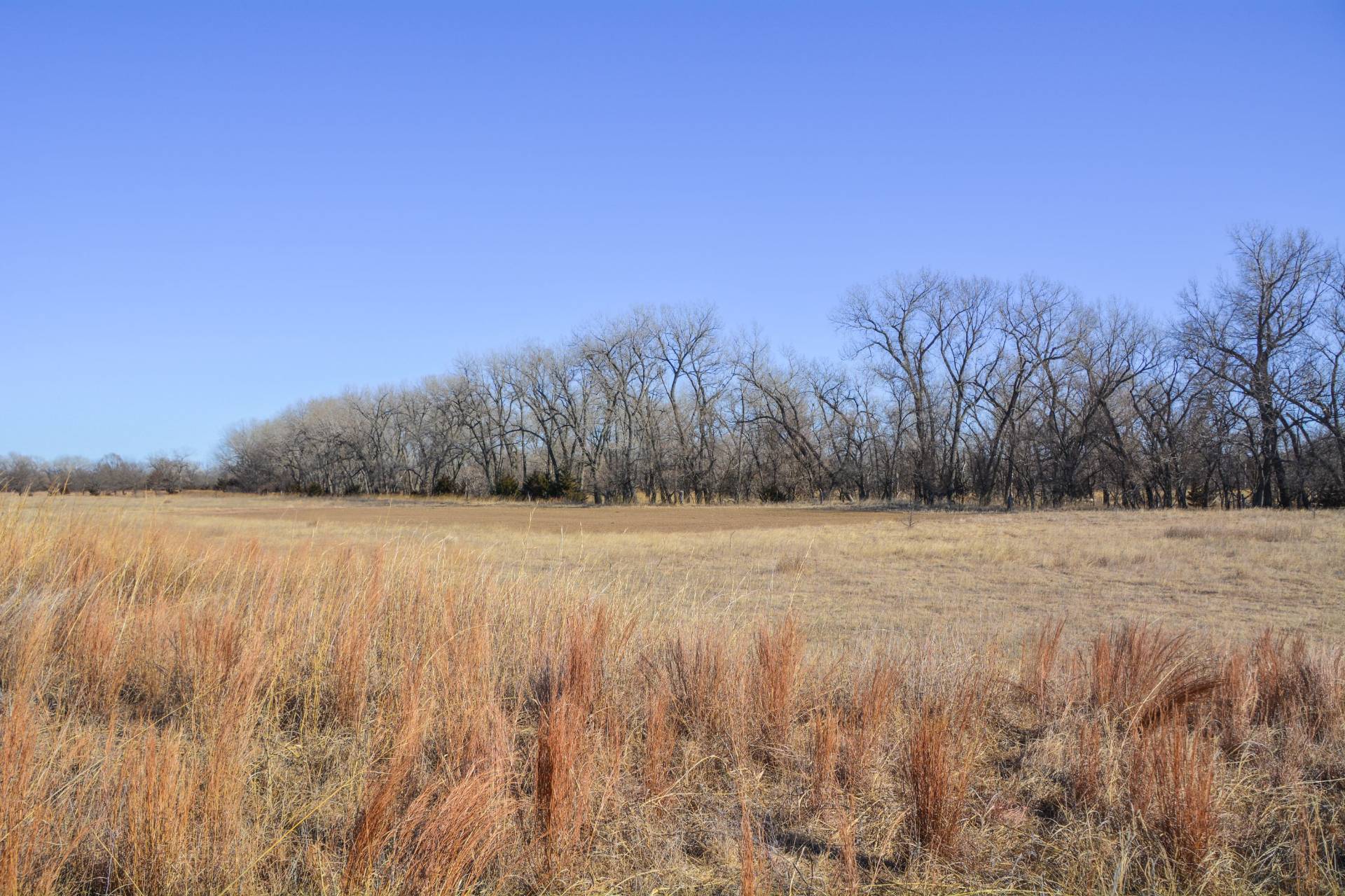
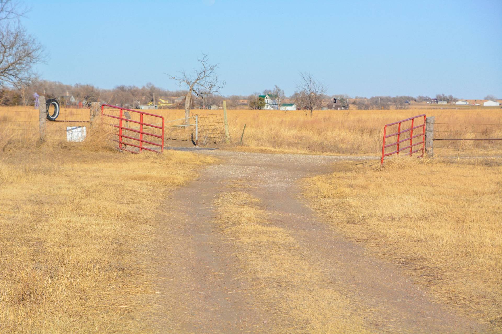
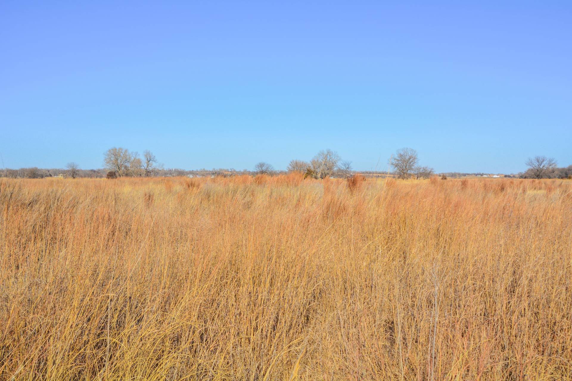
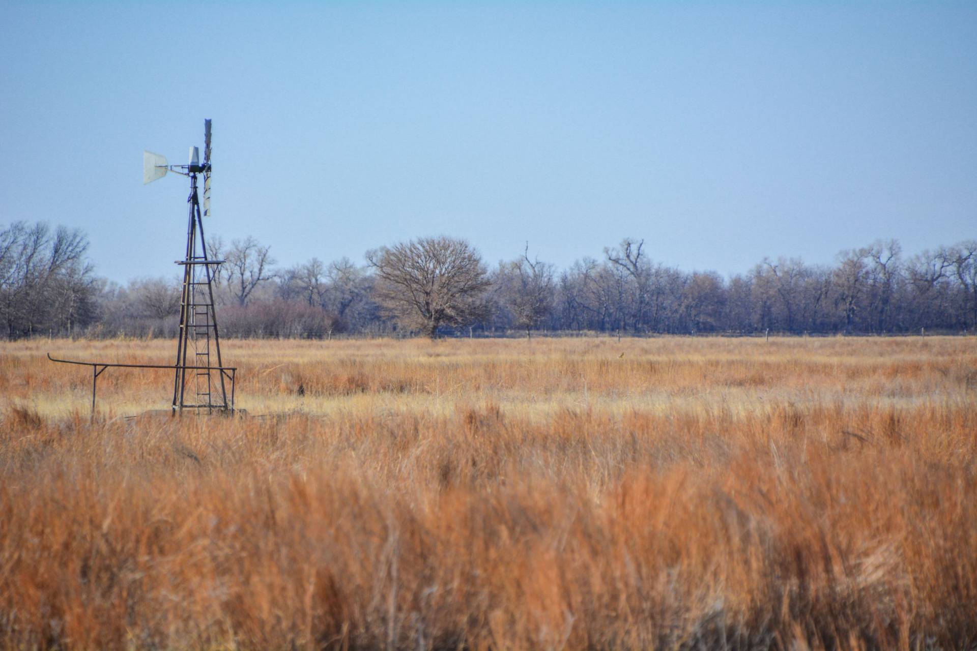
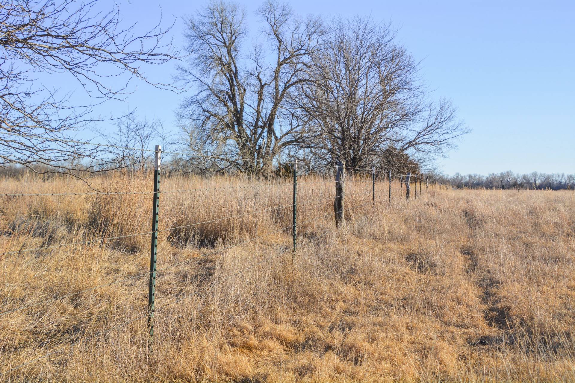
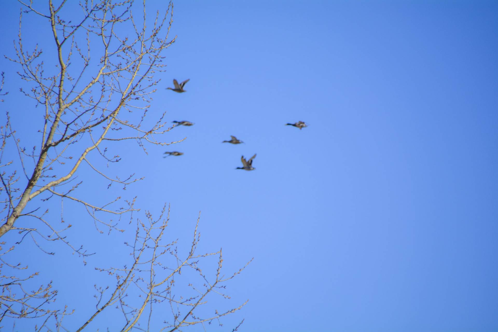
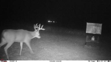
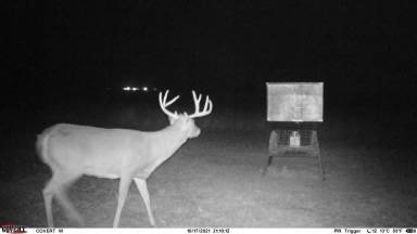
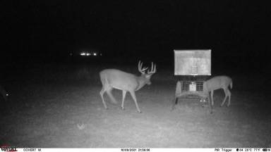
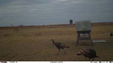
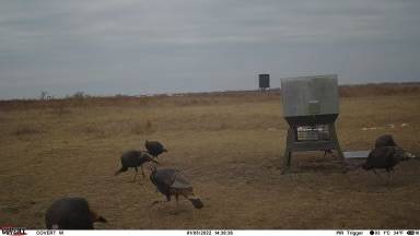
Rice County Ducks & Bucks Paradise +/- 186.90 acres Location: Located in Rice County right along the Arkansas River, just 1 mile SW of Raymond, KS, 2 miles from Quivira National Wildlife Refuge, 20 miles from Great Bend, and is a less than a 2 hour drive from the Wichita Airport. While the land offers much seclusion and privacy, it is an easy drive to city necessities. Legal: S33 , T20 , R10 , ACRES 187.0 , S2 NE4 & ALL SE4 LYING NO OF ARKANSAS RIVER Land Description: These +/- 186.90 acres offer a most excellent hunting opportunity for the avid outdoor enthusiast. Bordering the Arkansas River, in an area that is locally known for its trophy bucks, large volume of upland birds, and high waterfowl numbers, this property offers a prime hunting location. Sitting in between Cheyenne Bottoms Wildlife Refuge and Quivira National Wildlife Refuge, two of the most crucial waterfowl migration points in North America, makes it a hotspot for waterfowl game. Mature timber surrounds the river and deer rubs, trails, scrapes, and tracts litter this property from one side to the other. The current All Seasons blind and feeder are optional to purchase with the property. The pasture offers thick grass, thickets, and food plots, attracting wildlife traveling to and from the river. This property is also set up for a cattle operation, with a good 5 strand barbed wire fence, water well with electric pump, and thick native grass. This gives the opportunity for cattle lease income or for a cattleman to run their own operation. Property Features: Water well with electric pump Food Plots 5 strand barbed wire fence Mature river bottom timber Cattle pasture Whitetail Deer, Turkey, Dove, Pheasant, Quail, WATERFOWL Near Cheyenne Bottoms Wildlife Refuge & only 2.5 miles from Quivira National Wildlife Refuge Boarders the Arkansas River Highly Secluded Surface Rights only Soils: 104.84 acres of platte complex, frequently flooded 30.868 acres of mano clay loam, occasionally flooded 26.4 acres of waldeck fine sandy loam, occasionally flooded 24.91 acres water along the Arkansas River For more information, see attached soil map




 ;
; ;
; ;
; ;
; ;
; ;
; ;
; ;
; ;
; ;
; ;
; ;
; ;
; ;
; ;
; ;
; ;
; ;
; ;
; ;
; ;
; ;
; ;
; ;
; ;
; ;
; ;
; ;
; ;
; ;
; ;
; ;
; ;
; ;
; ;
; ;
;