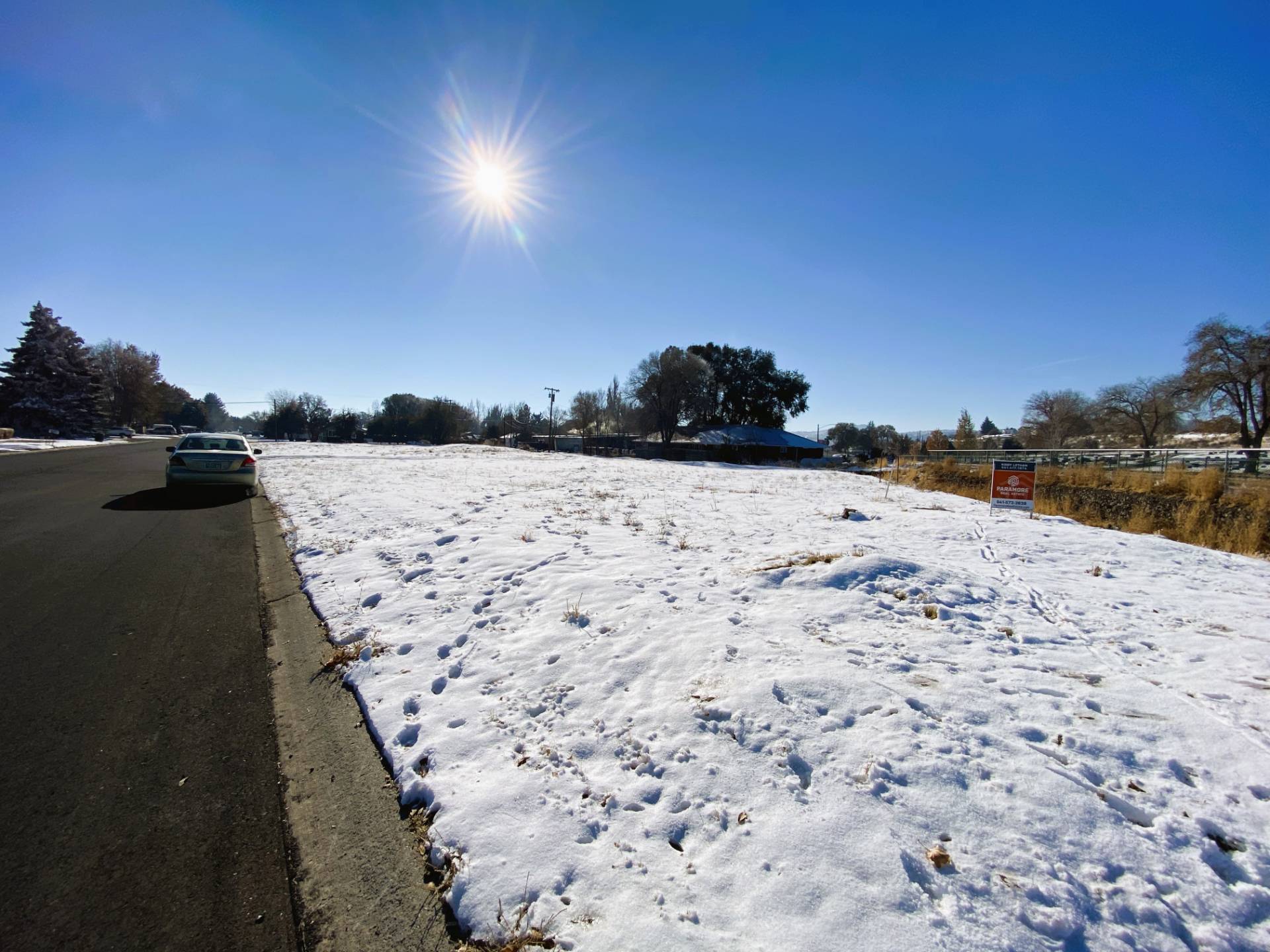
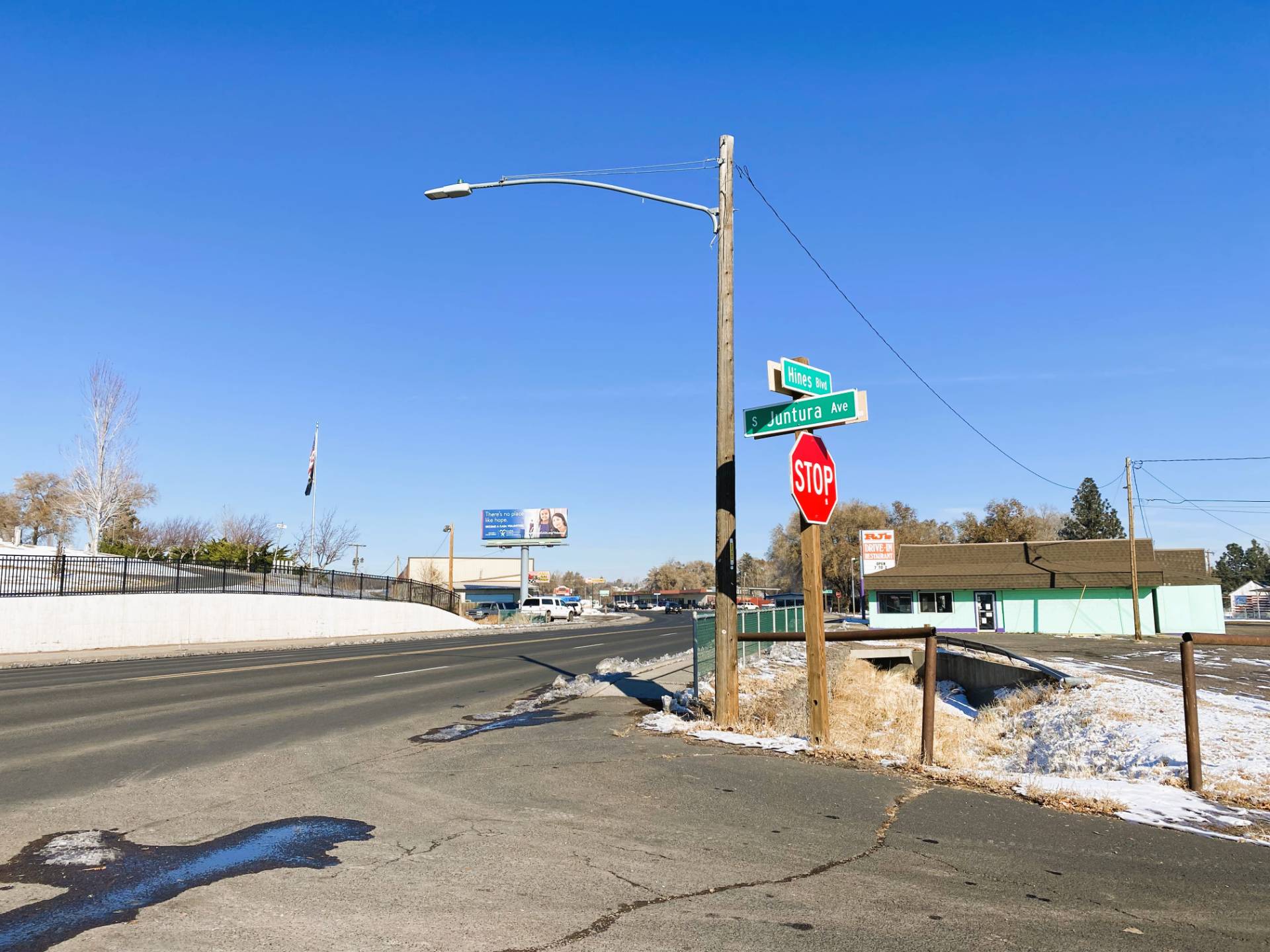
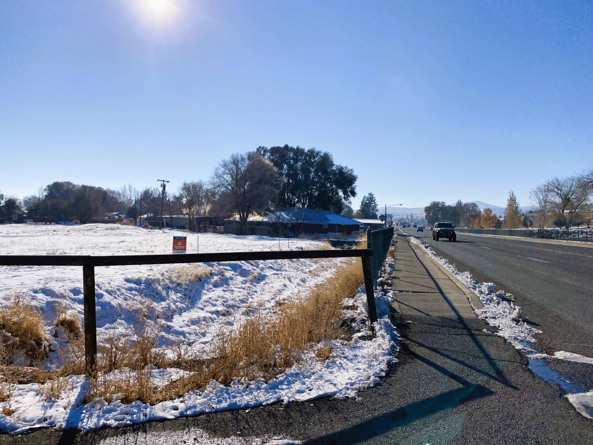
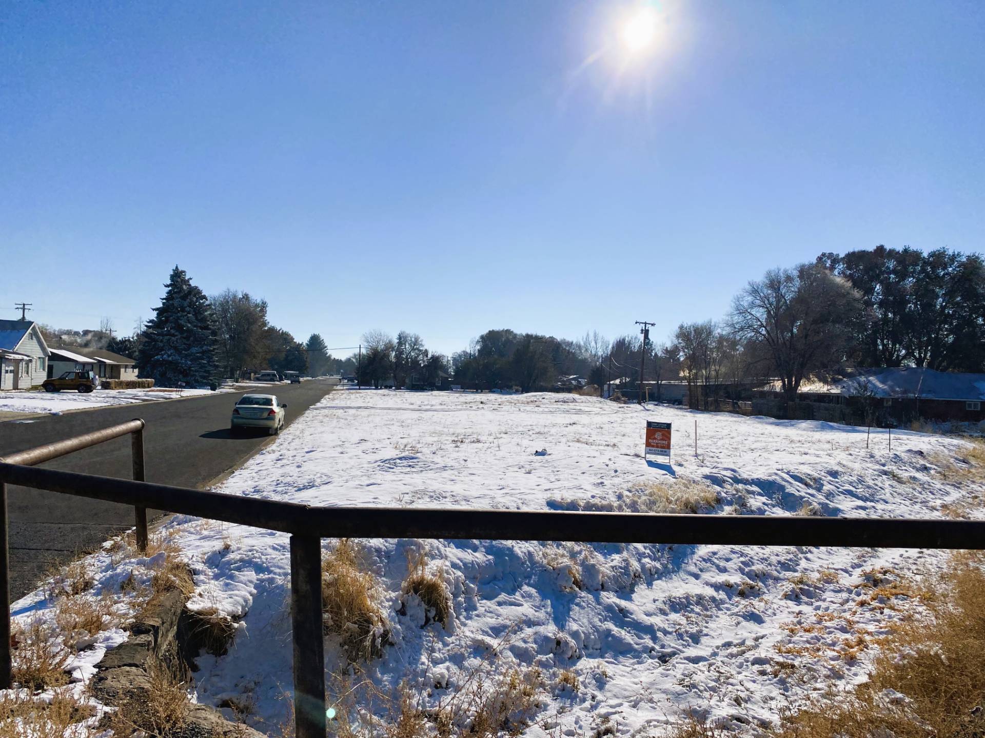
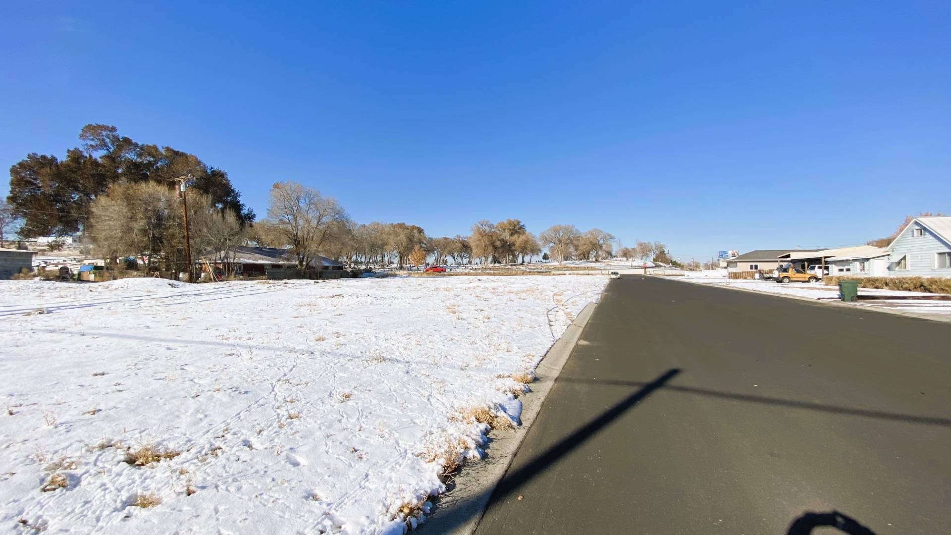
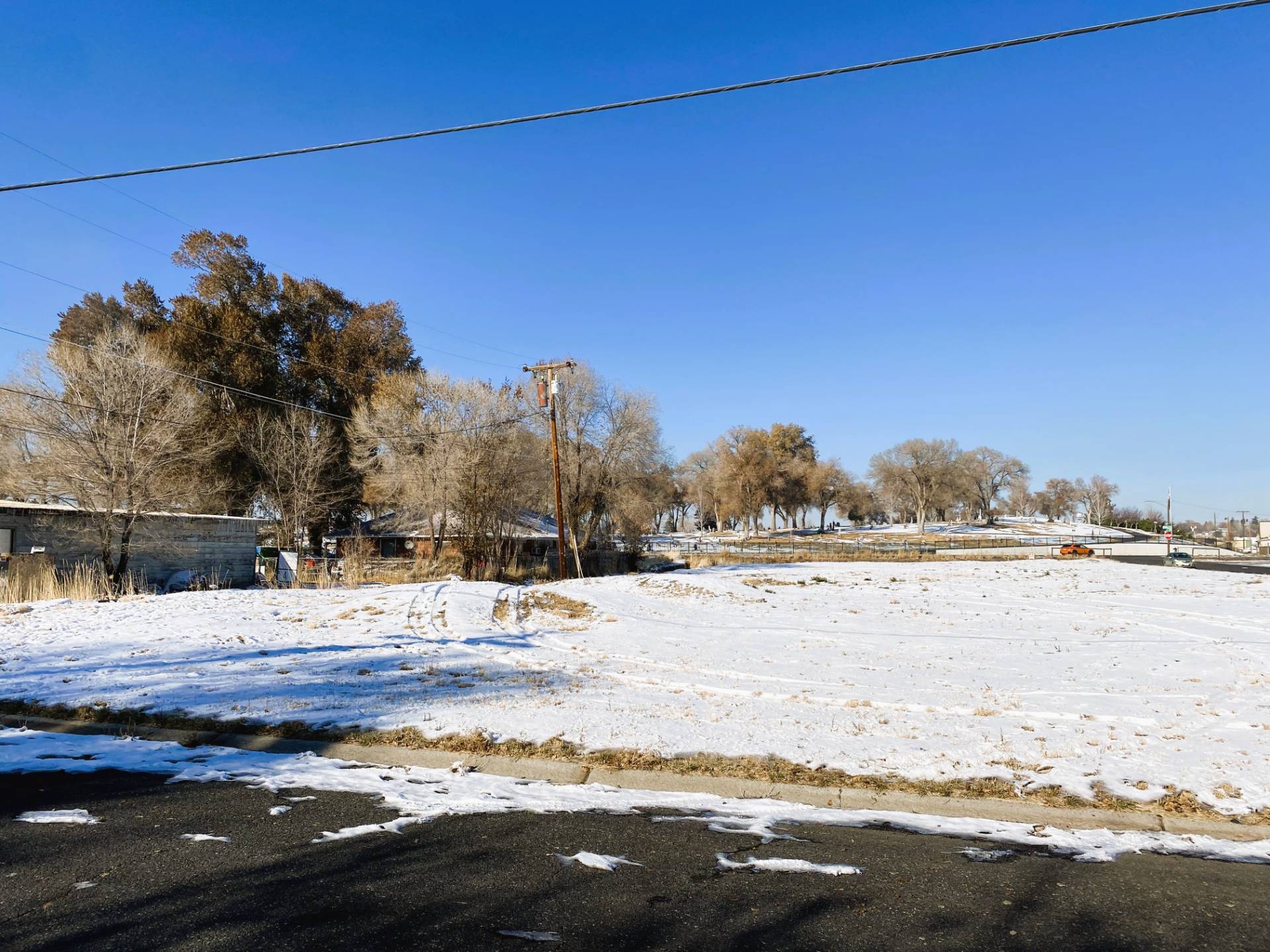
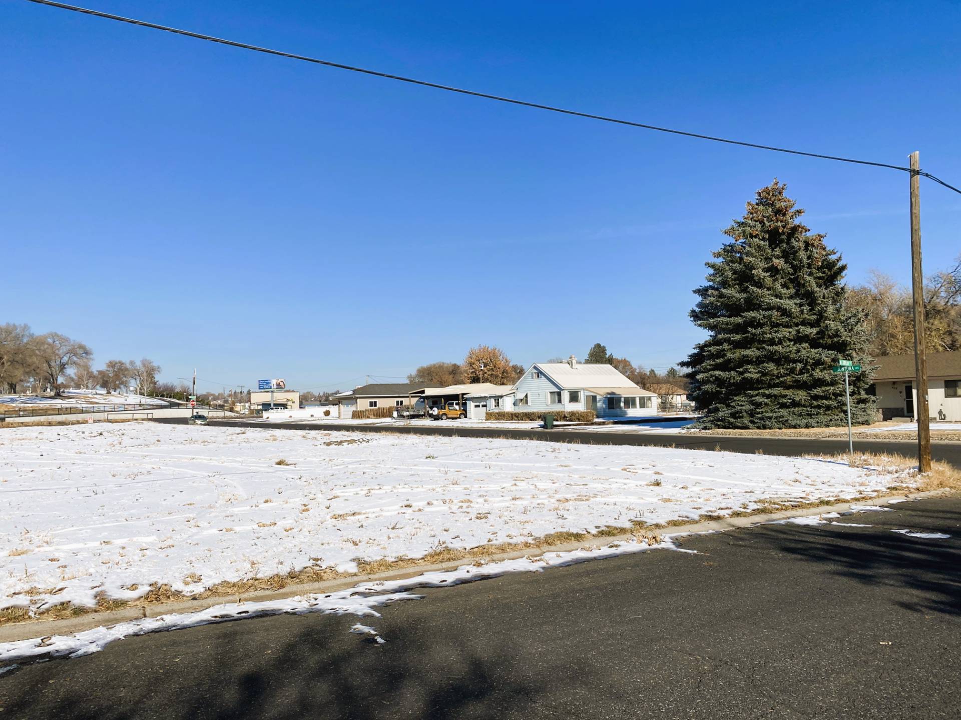
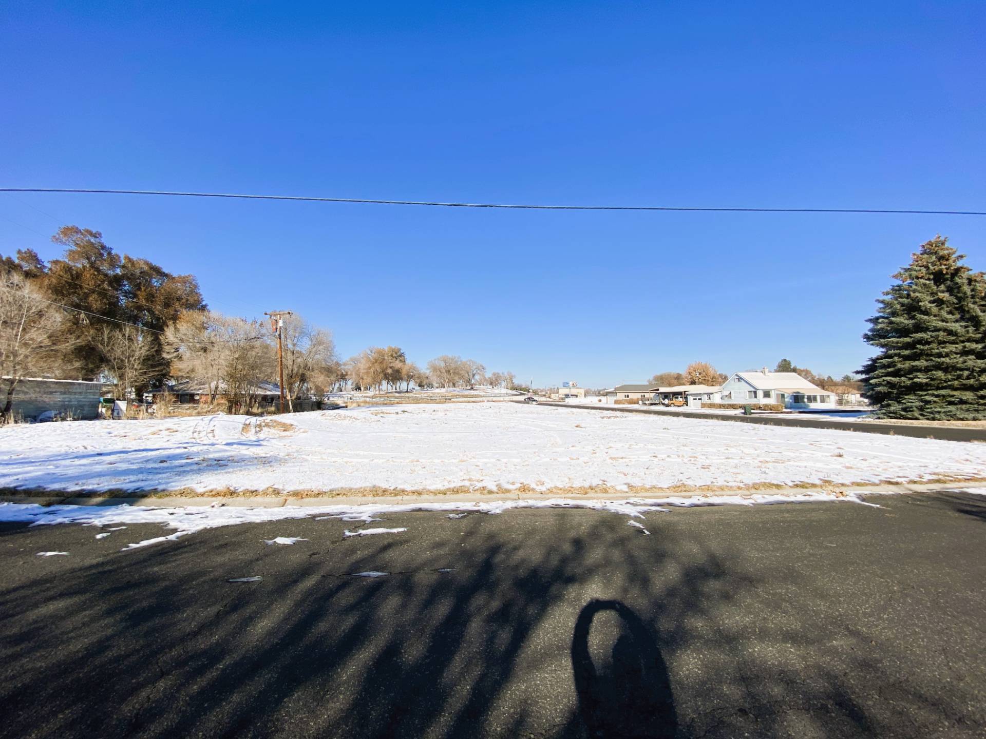
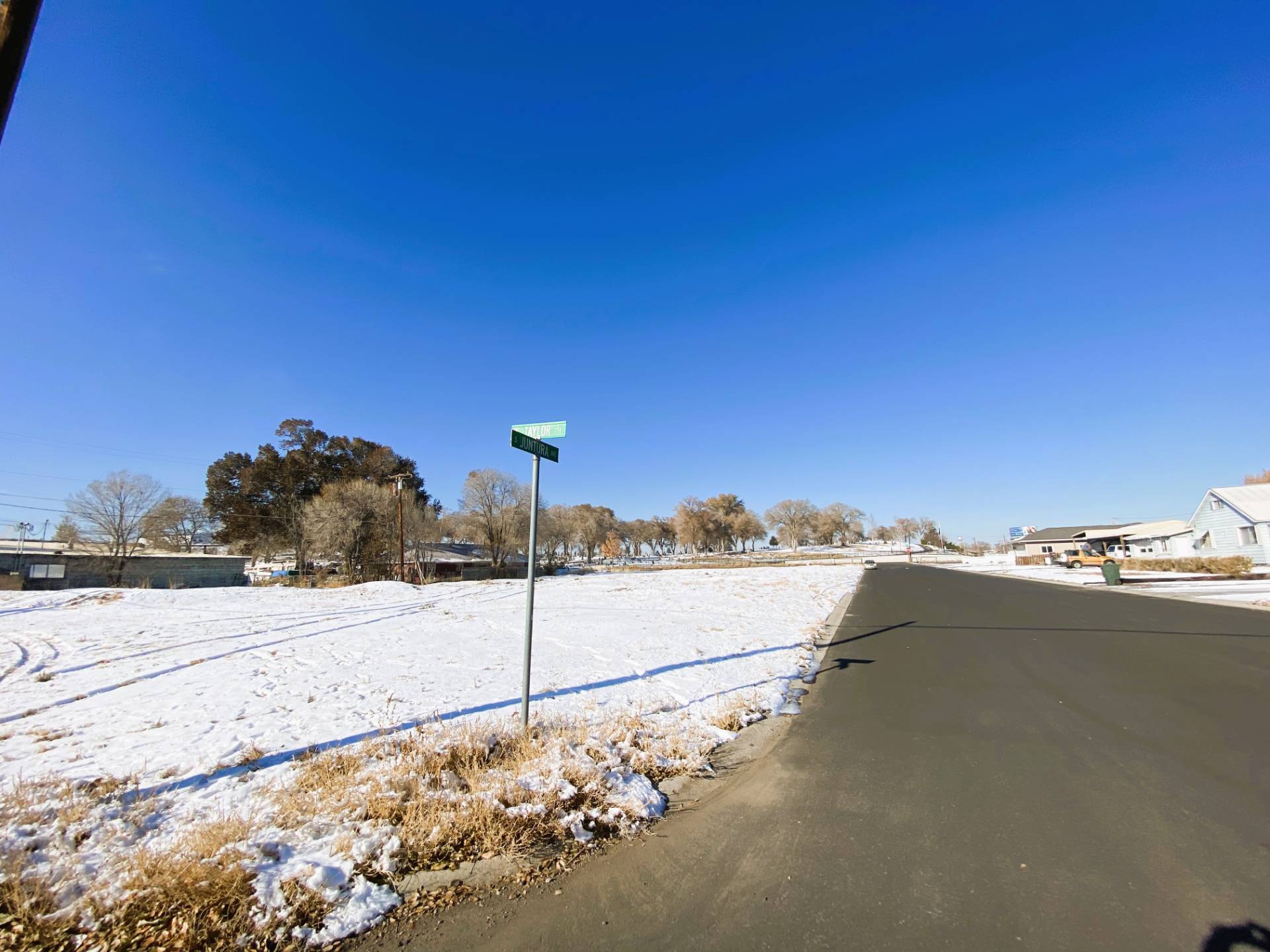
TBA S. Juntura Ave., Burns, OR 97720
$100,000
Active for Sale
Virtual Tour
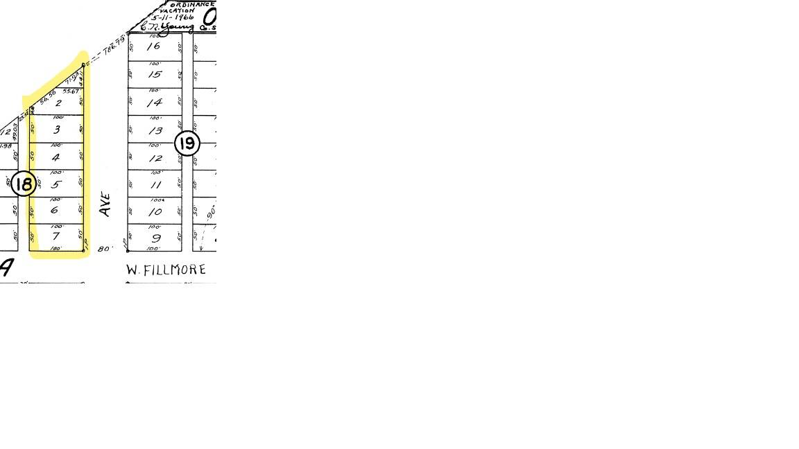
Land Details
Taxes and Fees
Listed By
Request More Information
Request Showing
Listing data is deemed reliable but is NOT guaranteed accurate.
|
|||||||||||||||||||||||||||||||||||||||||||||||||||||
 ;
; ;
; ;
; ;
; ;
; ;
; ;
; ;
; ;
;Contact Us
Who Would You Like to Contact Today?
I want to contact an agent about this property!
I wish to provide feedback about the website functionality
Contact Agent