Neosho Falls CRP & Hunting
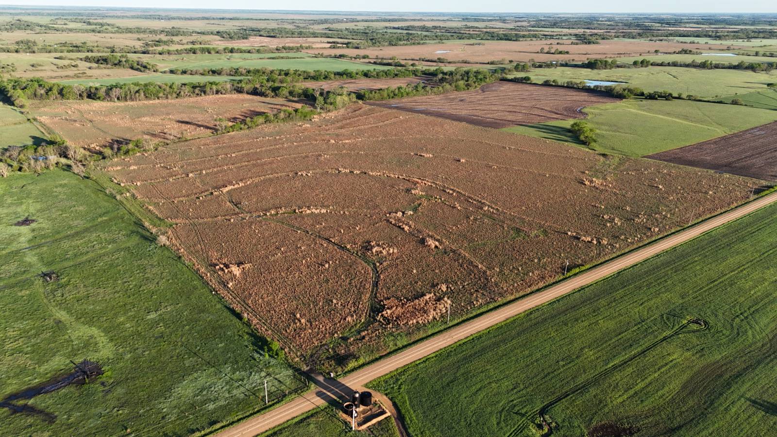
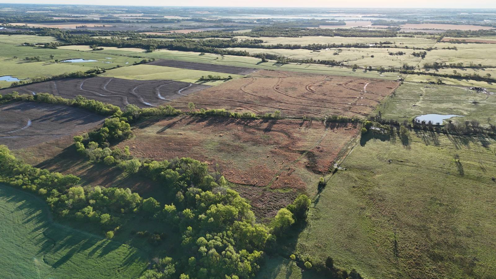
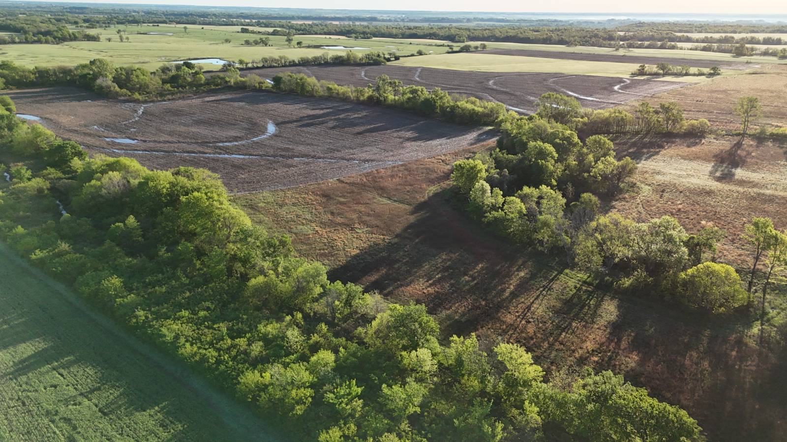
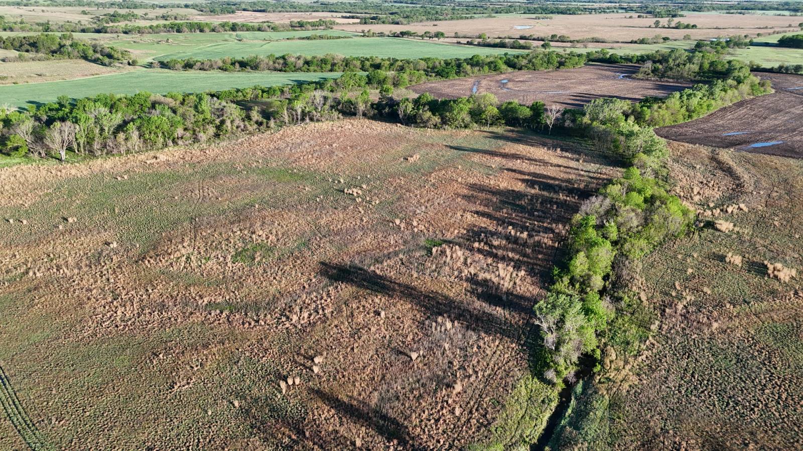
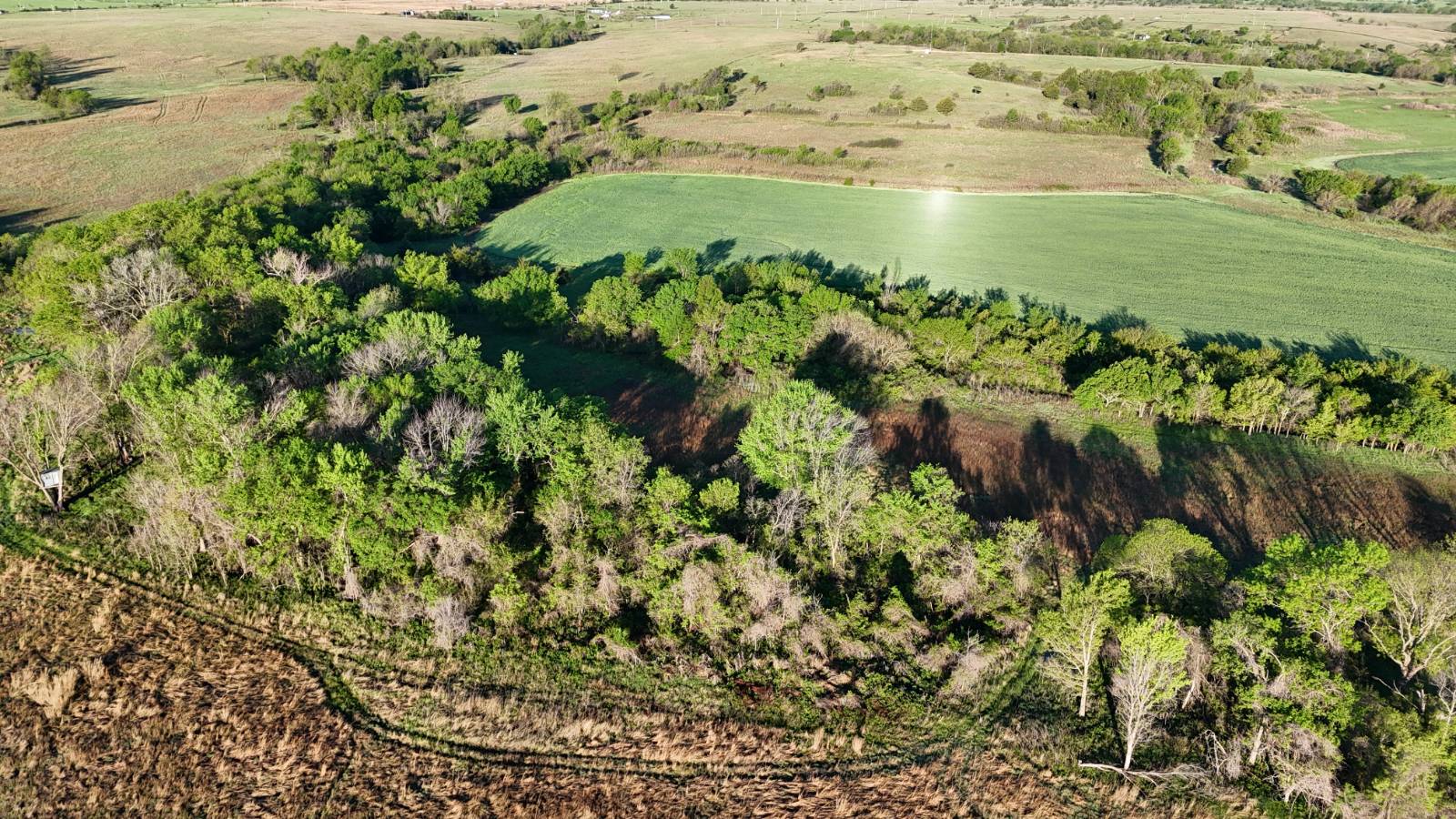
Our company is proud to present this new 80 +/- acre listing located between Neosho Falls and LeRoy, Kansas on behalf of the Murray family. This tract will appeal to both the recreational buyer and the ag operator due to its diversity and flexibility. It's composed mostly of CRP that could be transitioned back to cropland or used to support your cattle operation. It also features two timbered draws in the west half that in combination with the CRP, creates some excellent wildlife habitat. The CRP contract was renewed in 2020 with an expiration of 2035. If the Buyer would like to take the property out of the CRP and convert to tillable or pasture, the approximate buyout amount has been estimated at around $9,000.00 by Coffey County FSA. The current CRP contract totals 68.81 acres and pays $2,890 annually. Please view the "Related Documents" section on this listing to view all the CRP details. The majority soil types are Class 2 varieties of Dennis and Woodson Silt Loam which total approximately 44 acres with Kenoma Silt Loam and channeled Verdigris along the wet-weather draw making up the balance. This tract has hunting appeal as well with multiple good whitetails harvested from the west side of the property in the past according to the Seller. This area is very secluded and private due to the timbered draws that bisect the entire width of the property from north to south. The established and robust stand of Native grass provides further privacy and excellent bedding areas. There's heavy deer sign in this area and it's obvious it's being used as a primary residence by deer that are feeding in the neighboring crop fields. There is an oil lease on the property with Birk Oil that produces a small amount of oil. The Seller's mineral interest transfers to the Buyer and you can find further oil production info in the "Related Documents" section. Driving Directions: From LeRoy, KS, take California St. which becomes Reaper Ln. South, following the curves and becoming Reaper Rd for 4 3/4 miles and property begins on west side. Legal Description: The South 1/2 of the NE 1/4 of Section 28, Township 23 South, 16 East of the 6th P.M., Woodson County, KS.


 ;
; ;
; ;
; ;
; ;
; ;
; ;
; ;
; ;
; ;
; ;
; ;
;