TBA Hwy 78, Burns, OR 97720

9 Photos
 
$48,000 List Price
Off Market
160.00 Acres
 
Listing ID 10494300
Property Type Vacant Land
County Harney
Total Tax $149
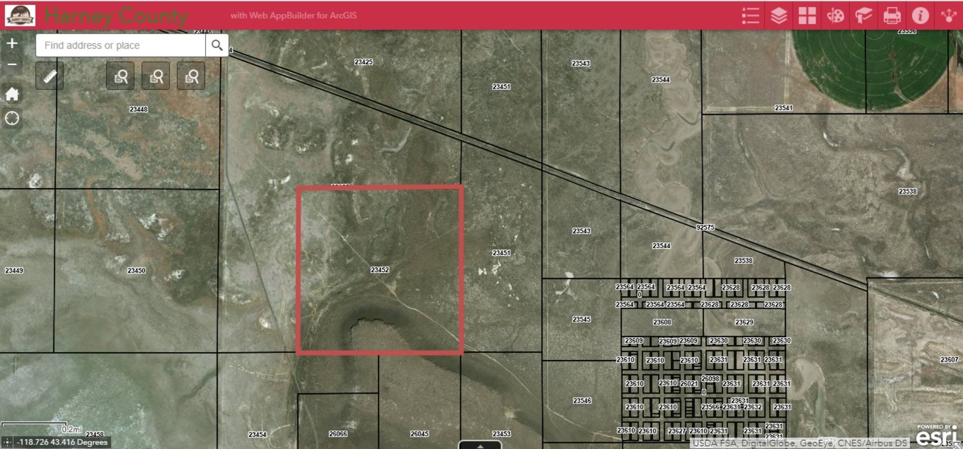
Tax ID 23452
FEMA Flood Map fema.gov/portal
Virtual Tour

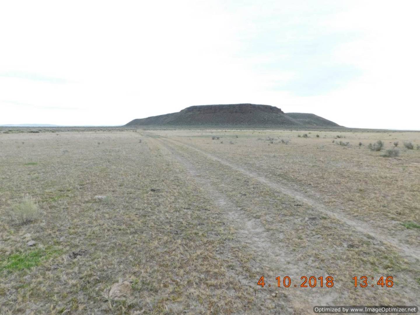
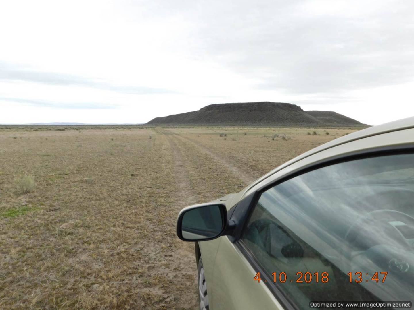
Saddle Butte - 160 Acres

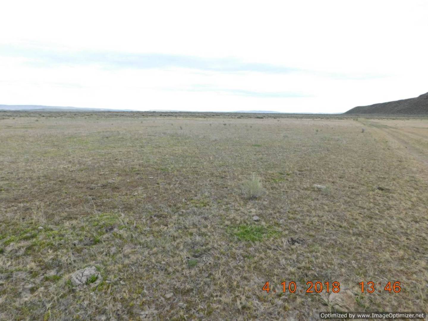
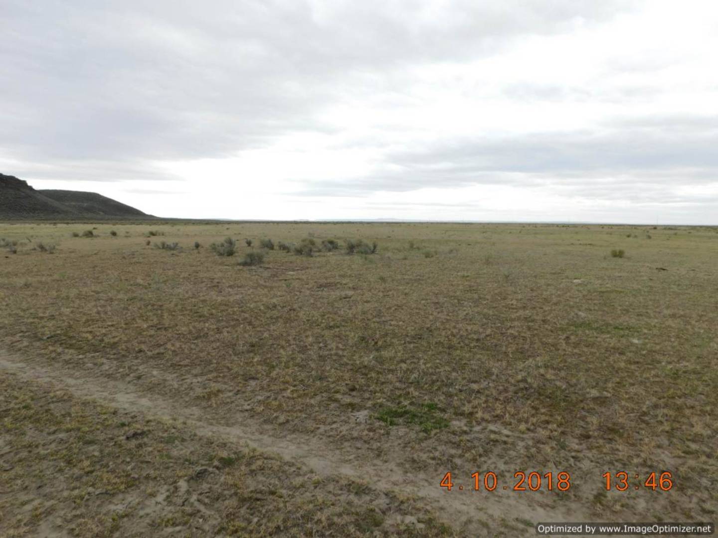
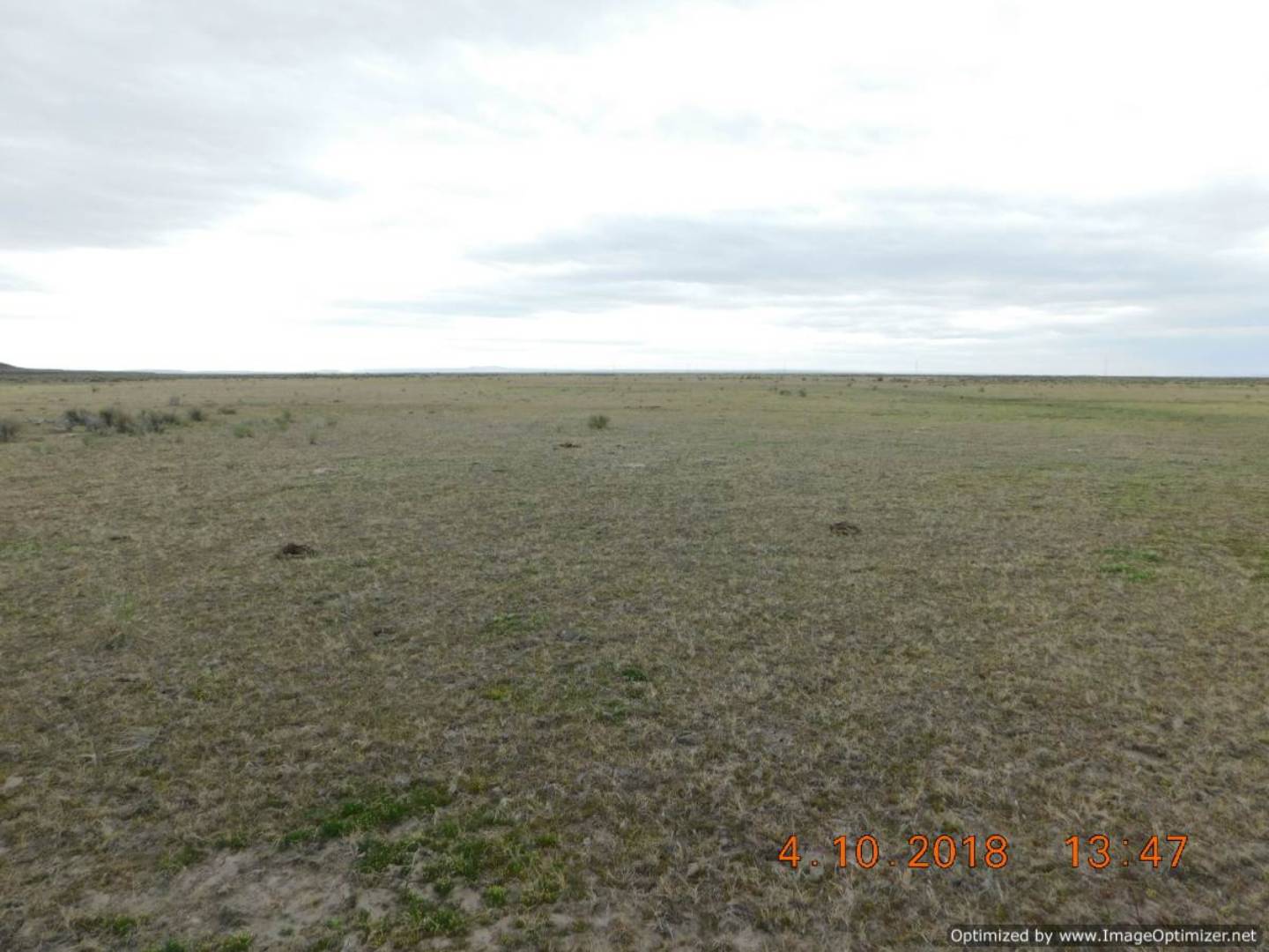
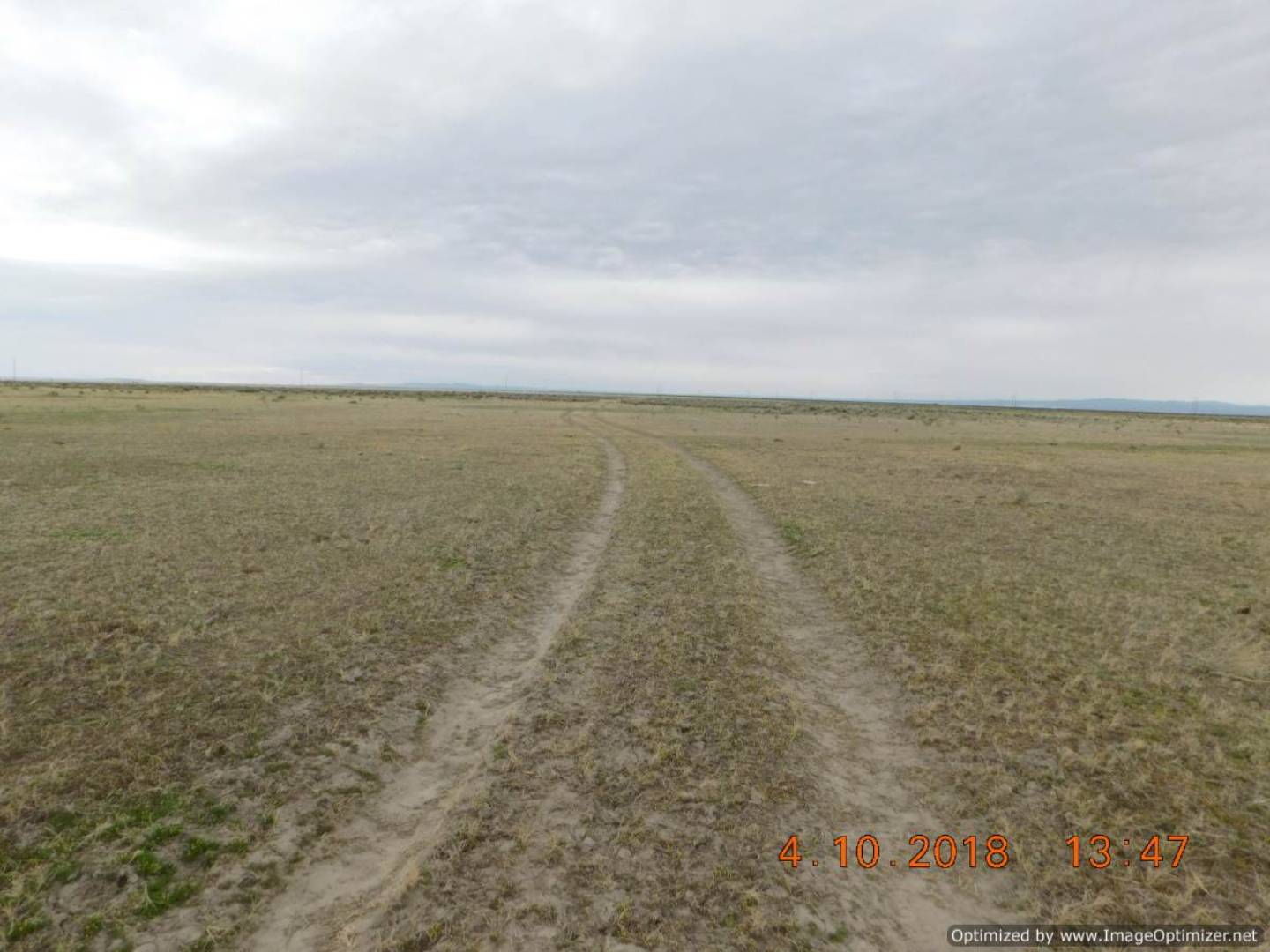
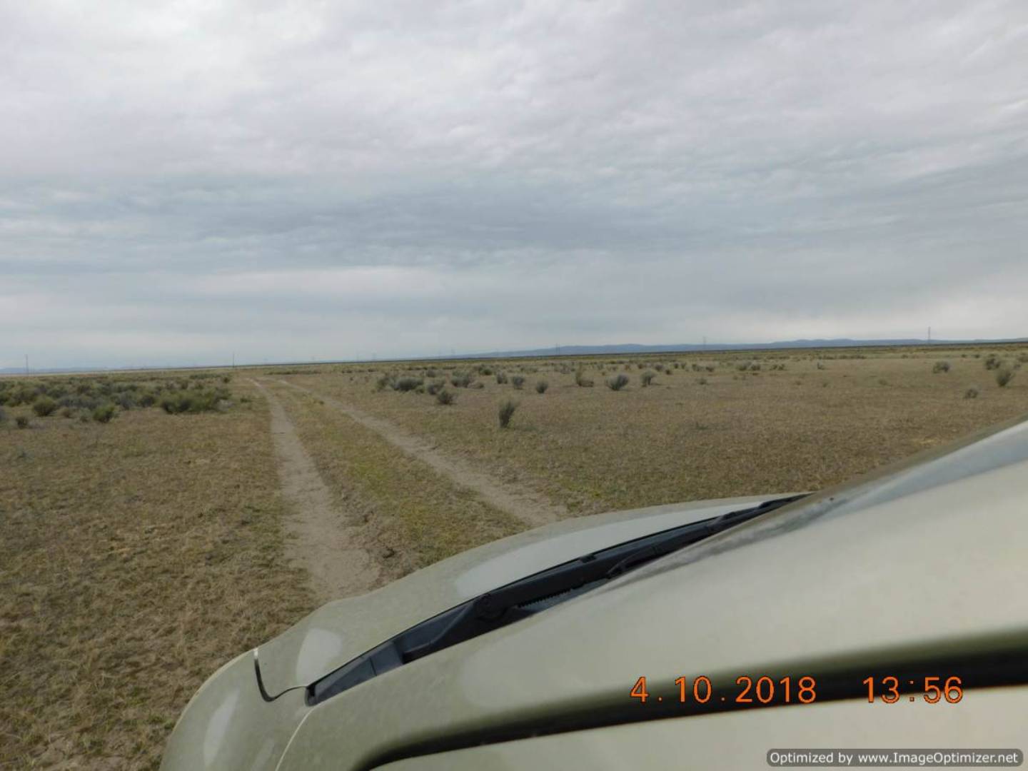
This 160 Acre property encompasses a portion of Saddle Butte. Located just South of Highway 78, and South East of Lawen. Accessible from Highway 78. Great for grazing, recreation, and wildlife viewing. Account #23452 Map & Tax Lot #25S32VE000003100 This is bare land, zoned EFRU-2. Property has no water rights.
Land Details
  • 1 Lot
  • 160.00 Acres
  • Map# 23452
Taxes and Fees
  • $149 Total Tax
  • Tax Year 2017
Previously Listed By
Kirby Letham
Paramore Real Estate
Office: 541-573-3639
Request More Information
Request Showing
Role Agent Buyer
Your Preferred Date & Time
Showing Type:
Listing data is deemed reliable but is NOT guaranteed accurate.
Contact Us
Who Would You Like to Contact Today?

I want to contact an agent about this property!

I wish to provide feedback about the website functionality

Contact Agent
Your Name:
Email:
Phone:
Message:
Security: What is 6 minus 3?