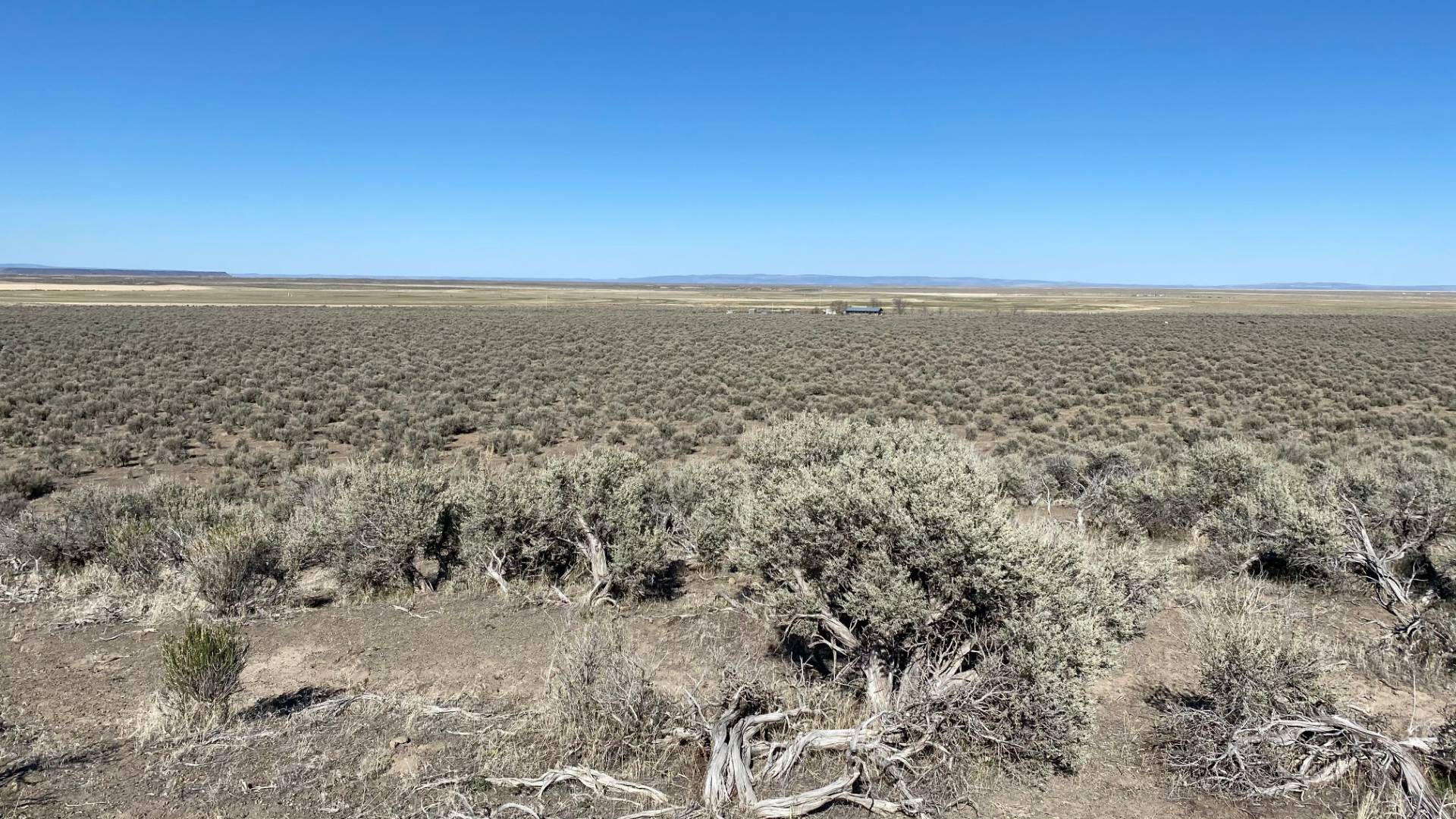
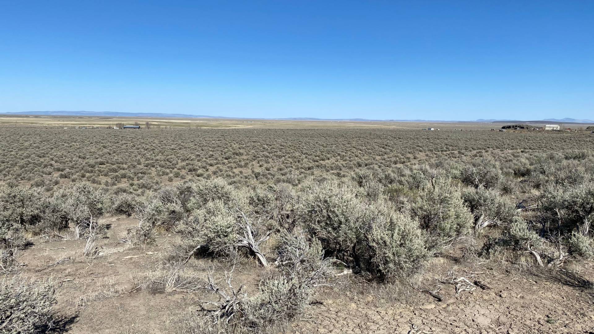
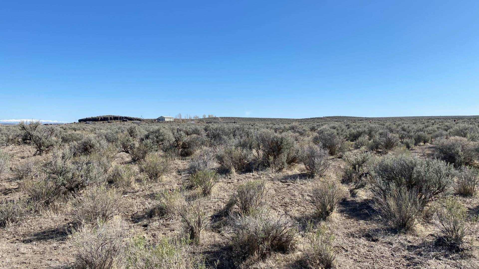
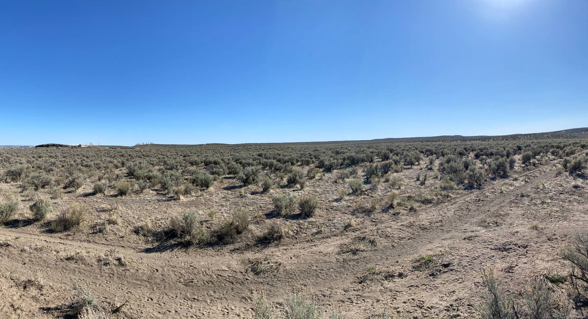
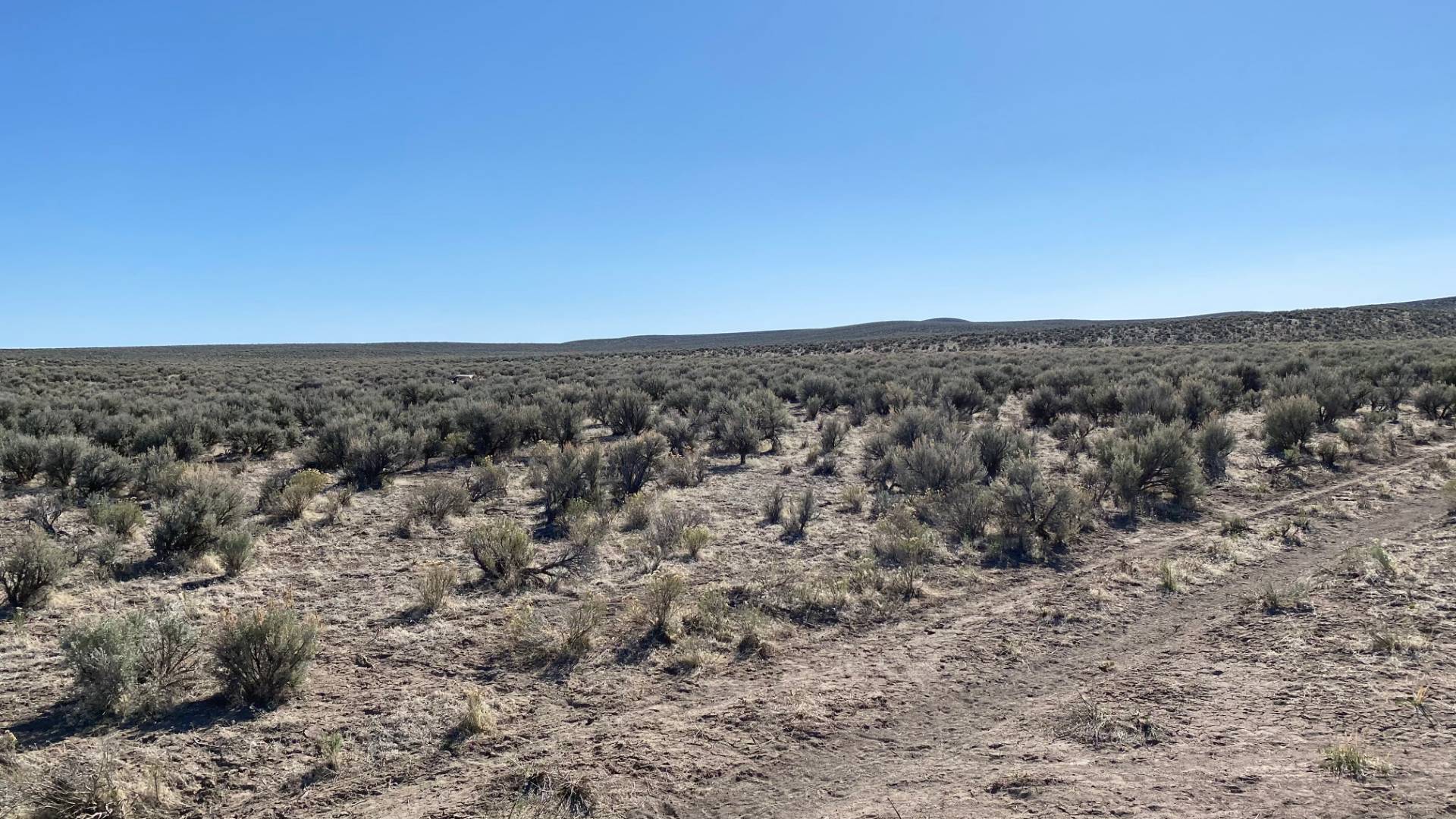
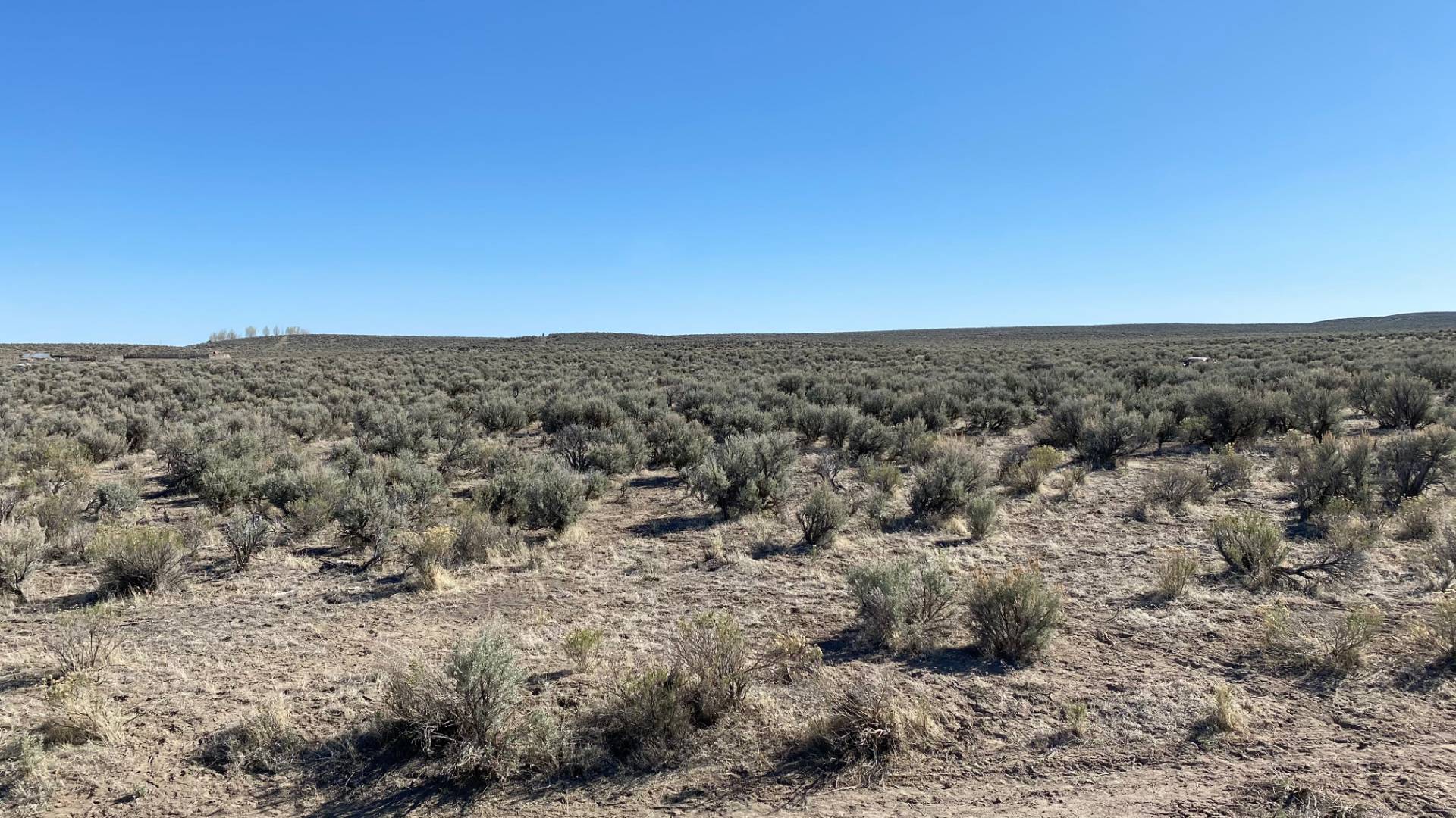
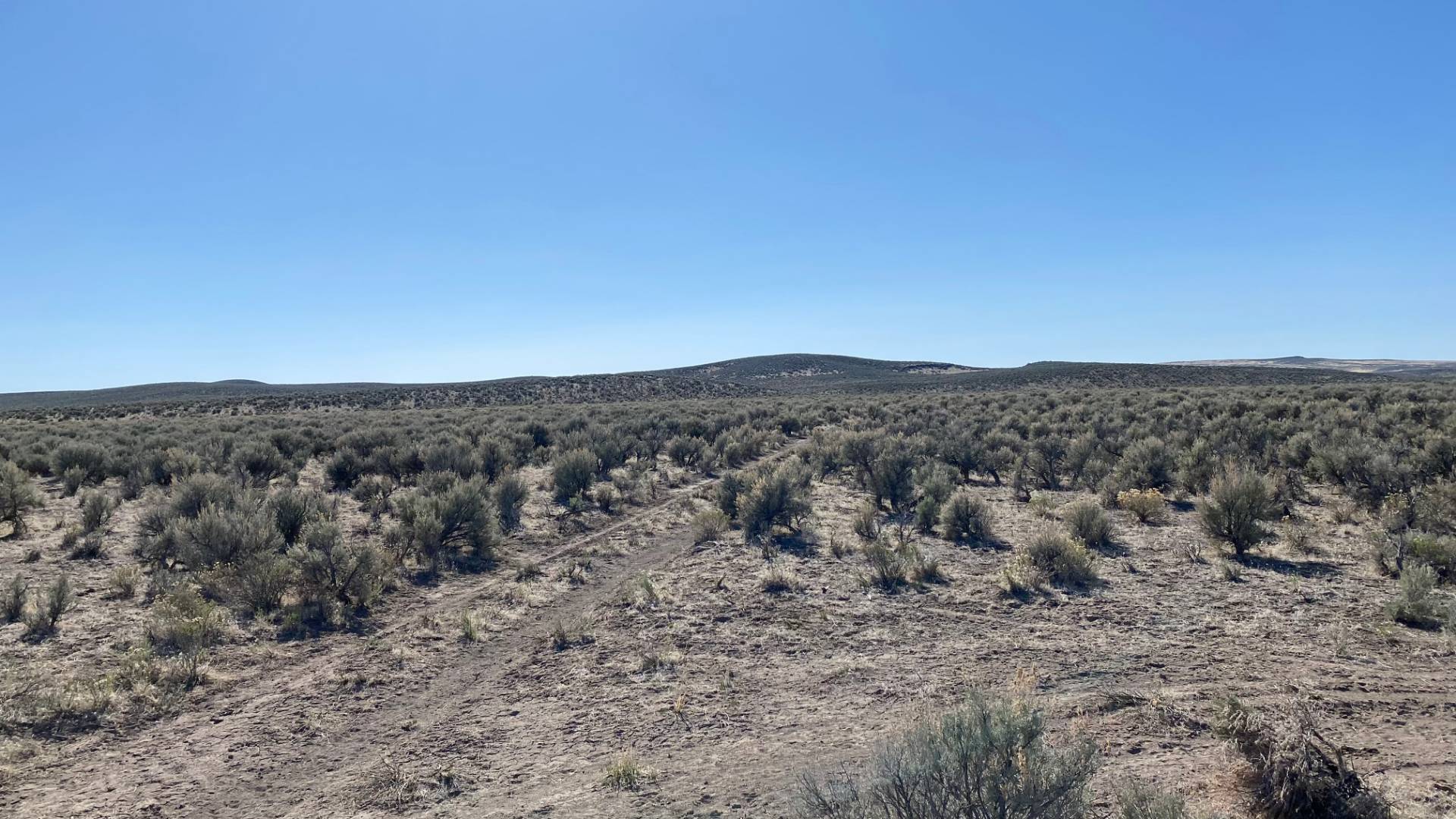
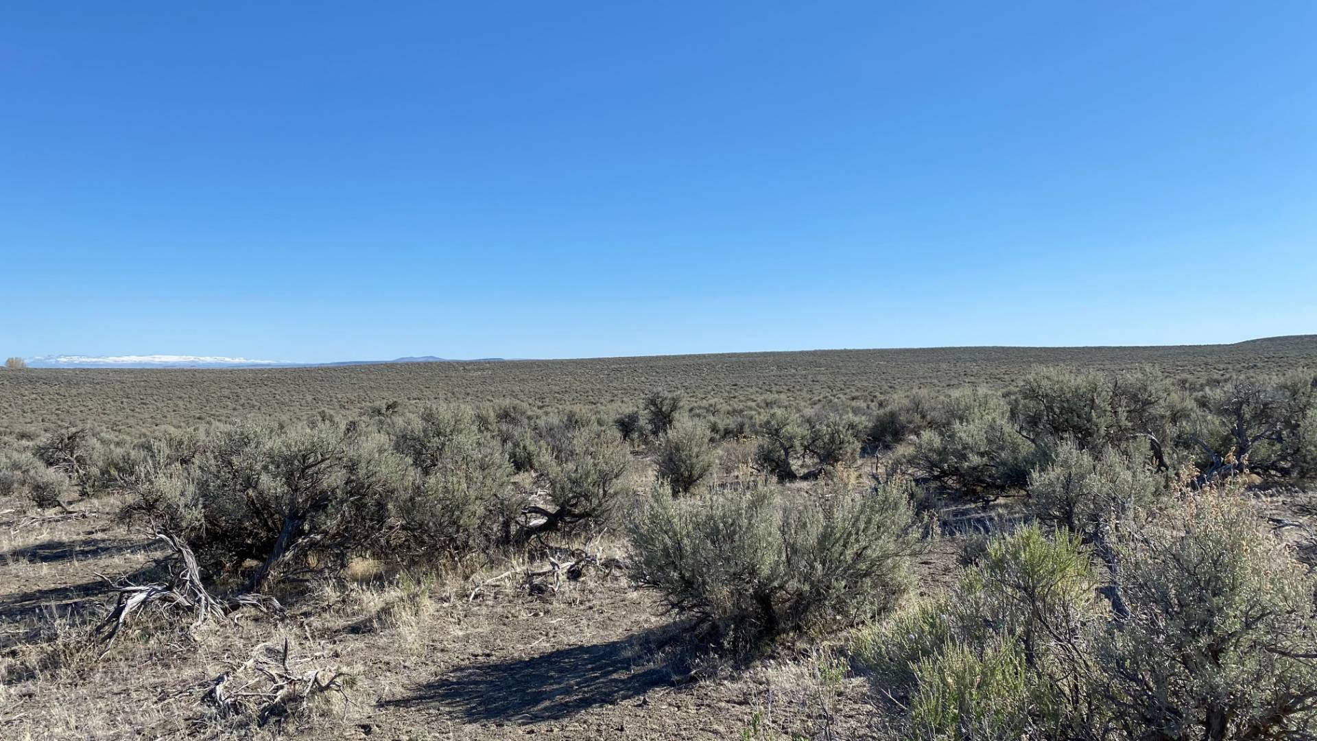
TBA McCanna Rd., Burns, OR 97720

9 Photos
 
$100,000 List Price
Off Market
100.00 Acres
 
Listing ID 10986347
Property Type Vacant Land
County Harney
Total Tax $195
Tax ID 45181 and 47470
FEMA Flood Map fema.gov/portal
Virtual Tour

100 ACRES - McCanna Rd.

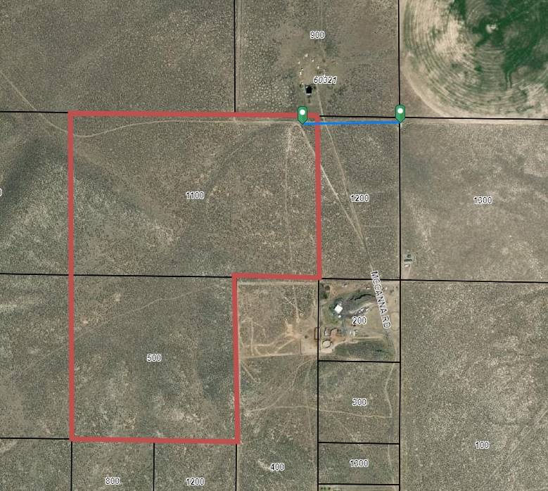
This property offers 100 acres of recreational land, or a possible place to build a homesite subject to county CUP. -13 miles from Malheur National Wildlife Refuge -7 Miles to the Narrows RV Park and Restaurant -Just 28 miles from Downtown Burns, OR -Less than 1/4 mile away from power -2 tax lots = 100 acres -Zoned EFRU-2 -Map and tax lot#26S31NE180001100 and #26S31NE190000500 -Account #45181 and 47470 Please call to view the property.
Land Details
  • 2 Lots
  • 100.00 Acres
Taxes and Fees
  • $195 Total Tax
  • Tax Year 2020
Previously Listed By
Kirby Letham
Paramore Real Estate
Office: 541-573-3639
Request More Information
Request Showing
Role Agent Buyer
Your Preferred Date & Time
Showing Type:
Listing data is deemed reliable but is NOT guaranteed accurate.
Contact Us
Who Would You Like to Contact Today?

I want to contact an agent about this property!

I wish to provide feedback about the website functionality

Contact Agent
Your Name:
Email:
Phone:
Message:
Security: What is 6 minus 3?