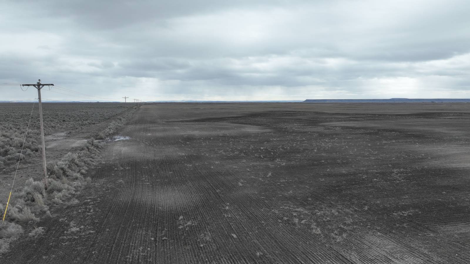
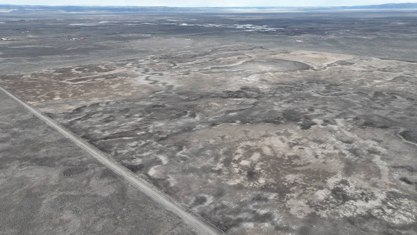
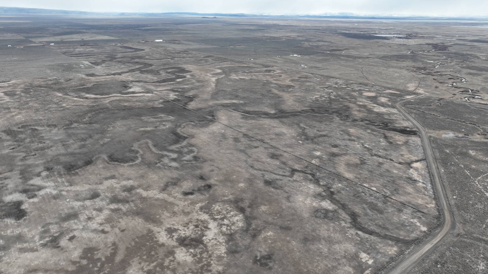
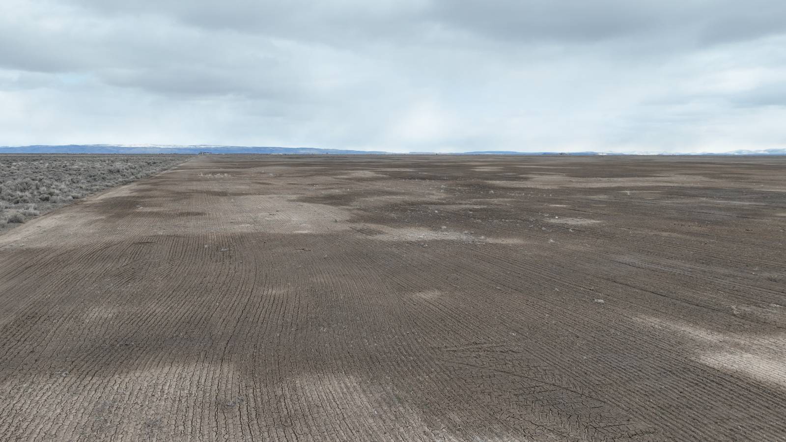
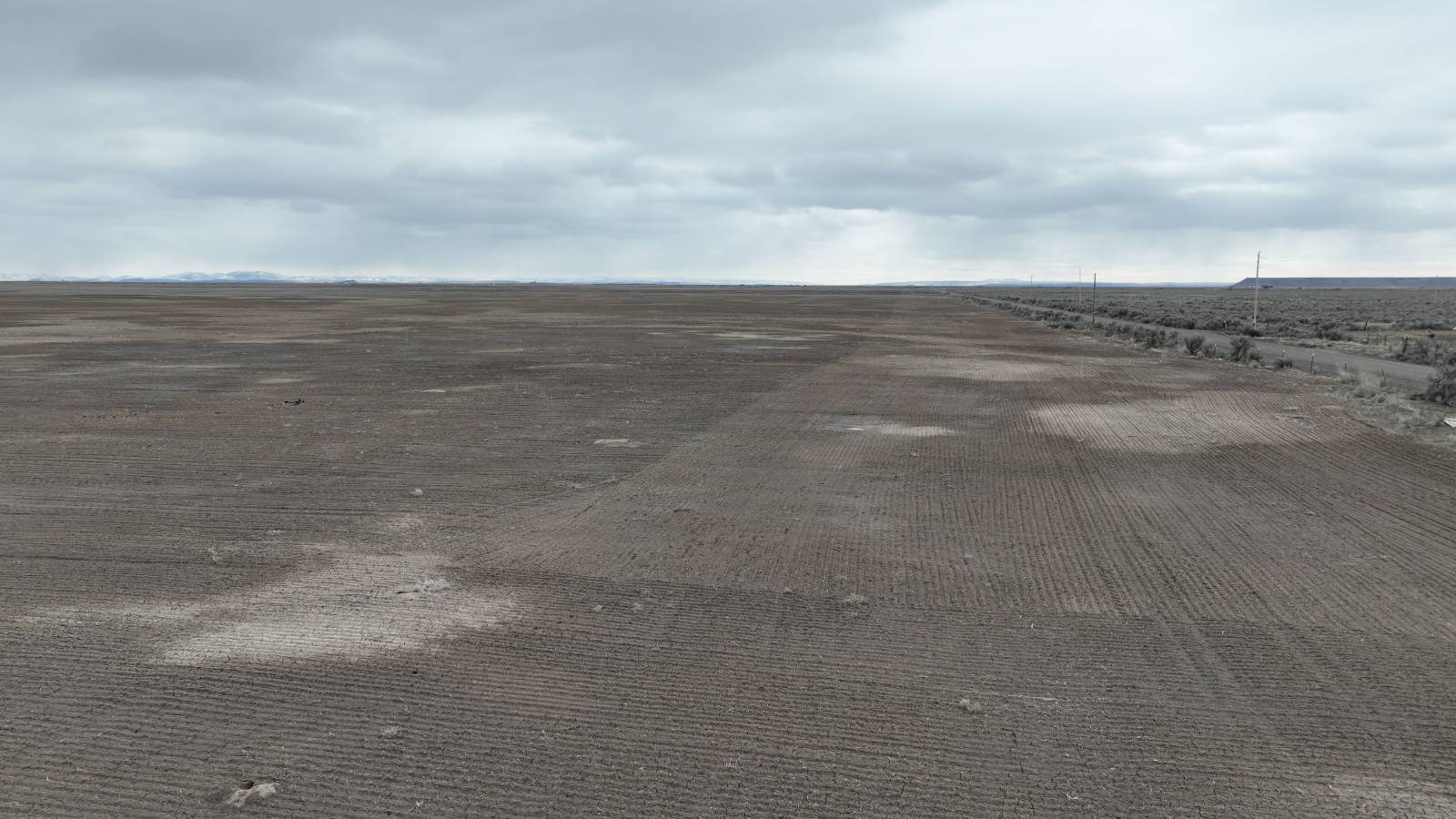
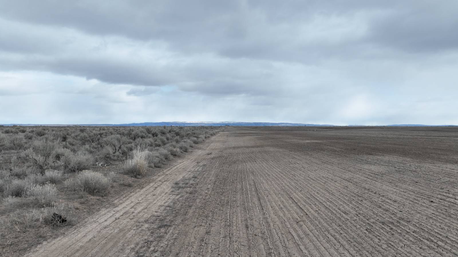
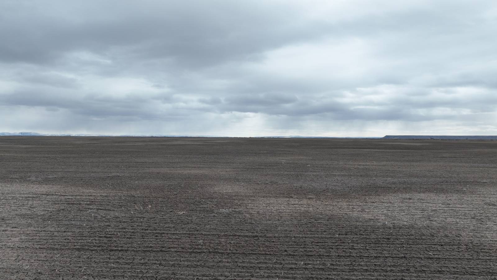
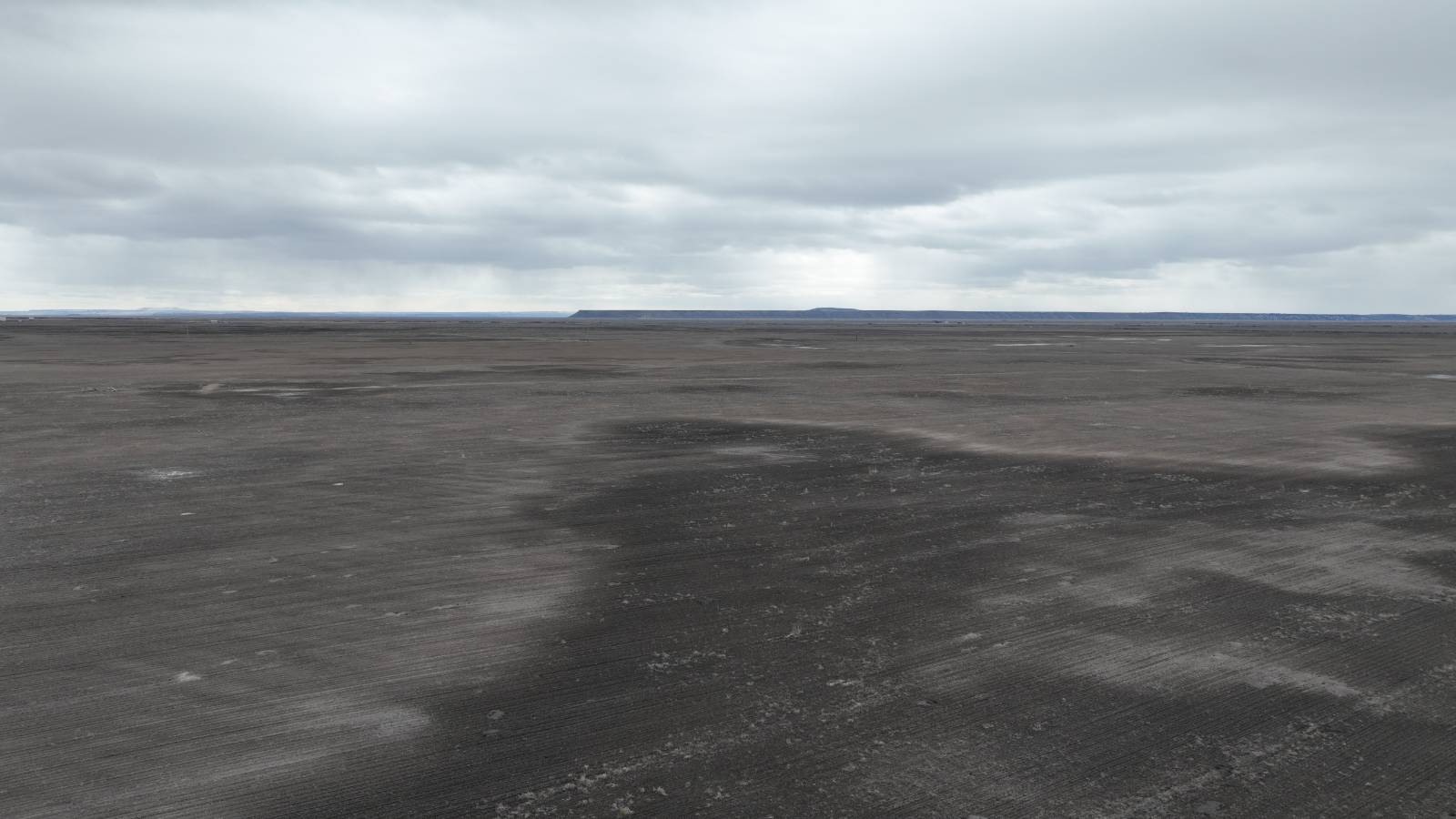
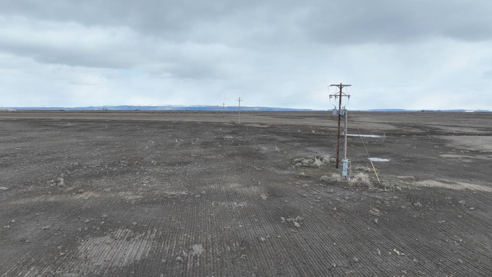
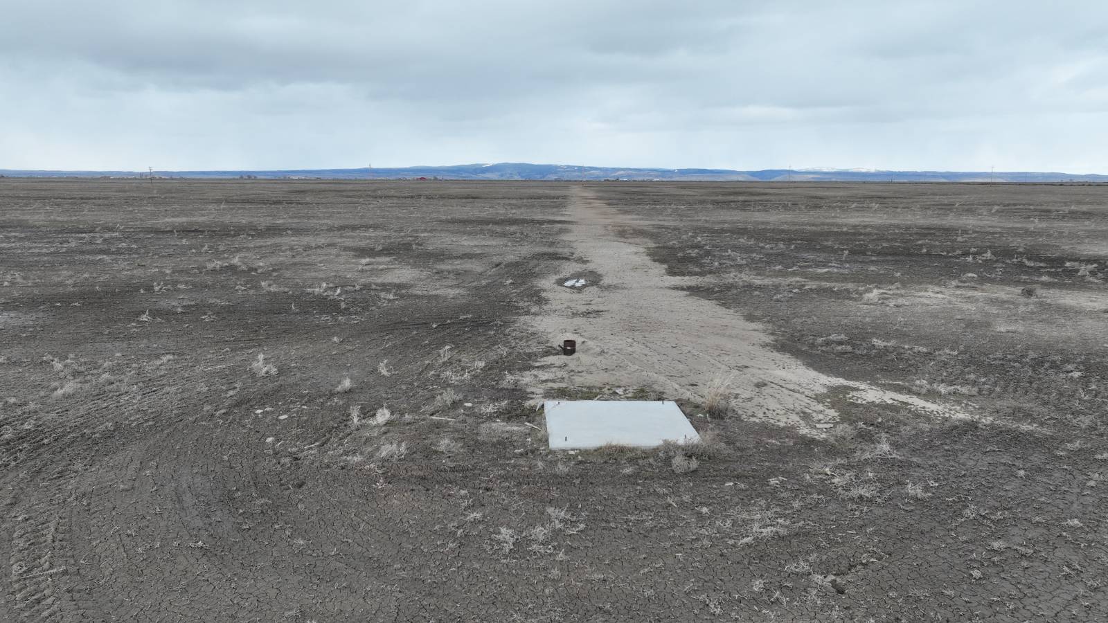
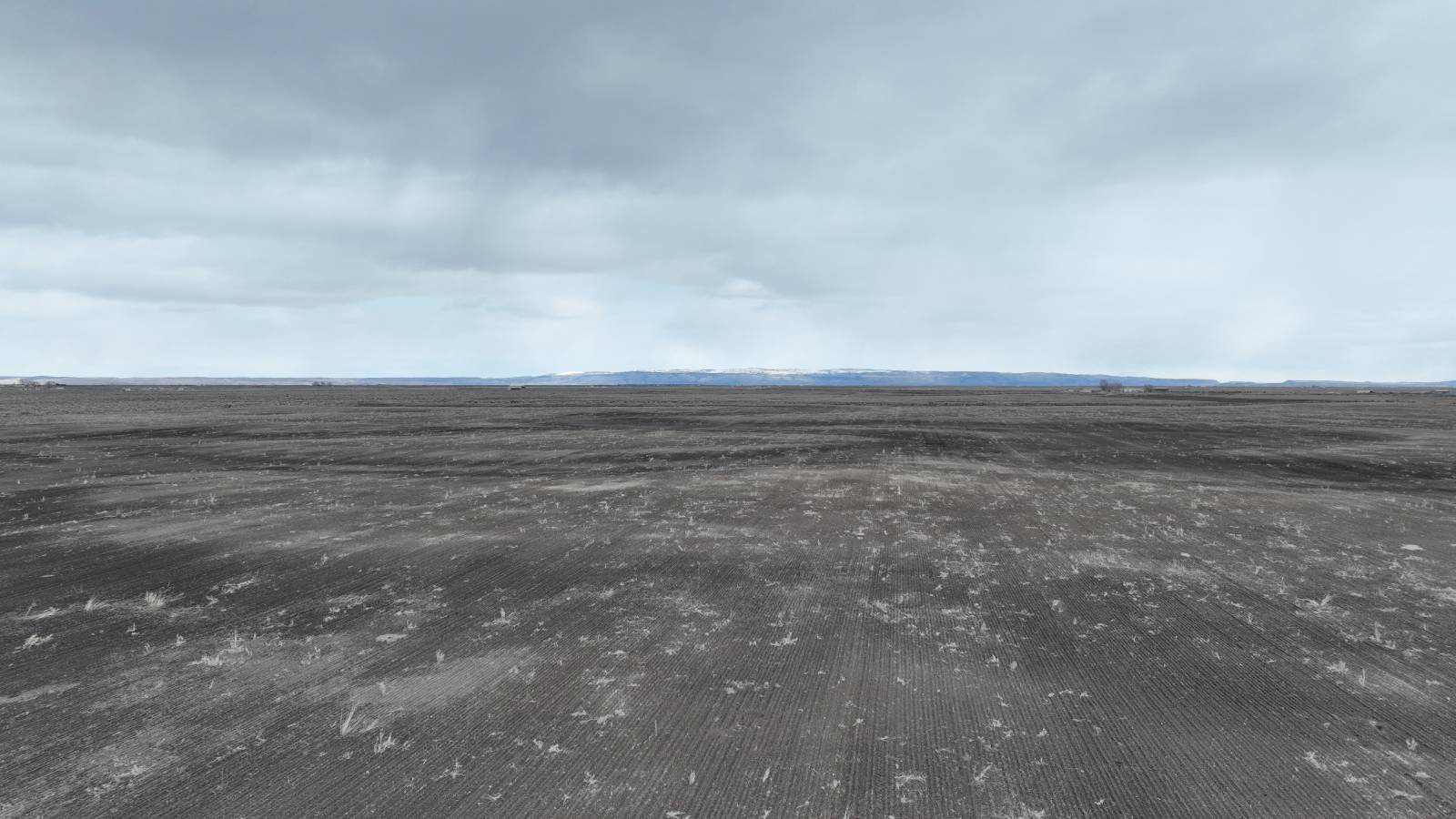
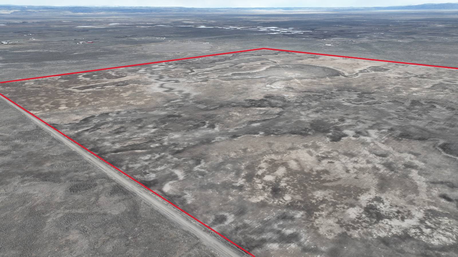
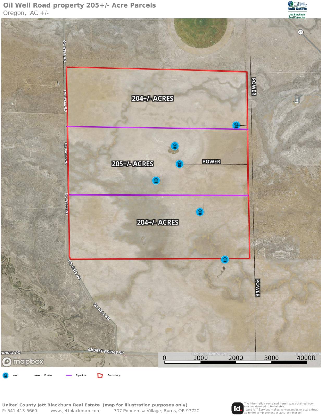
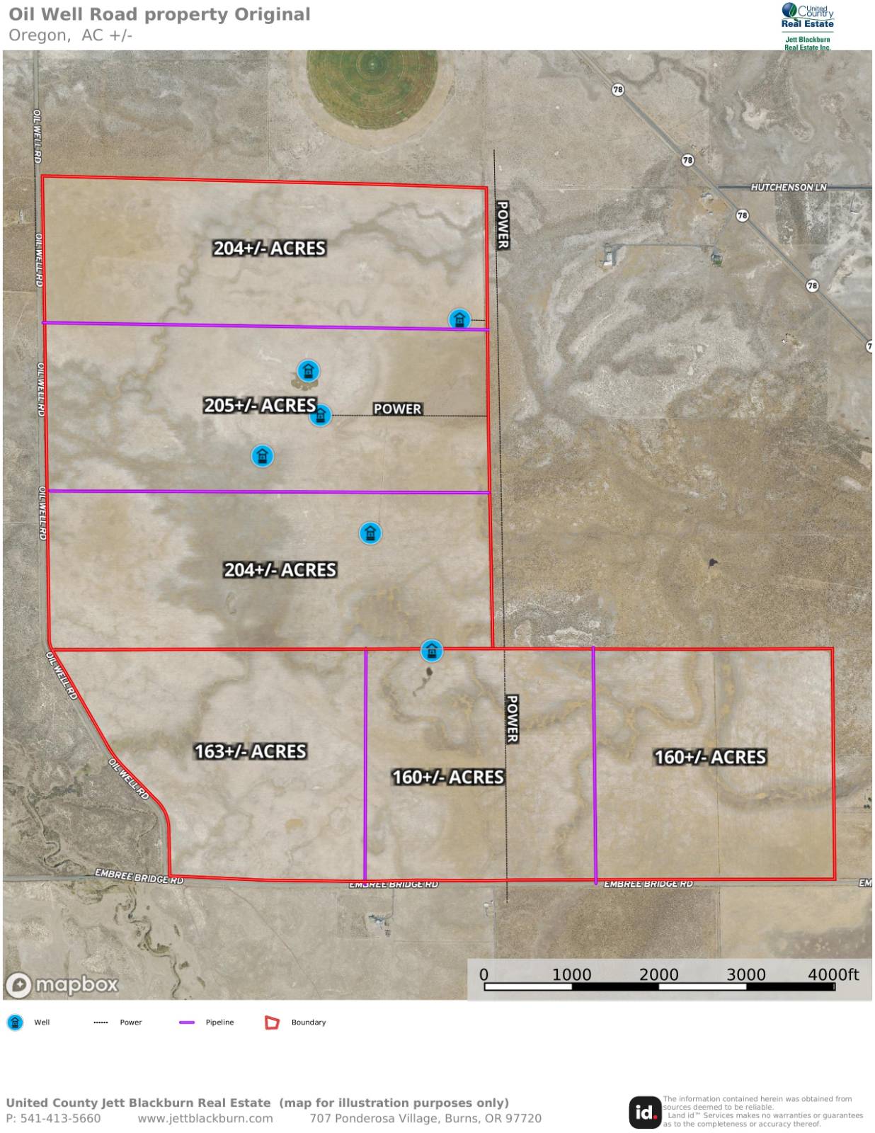
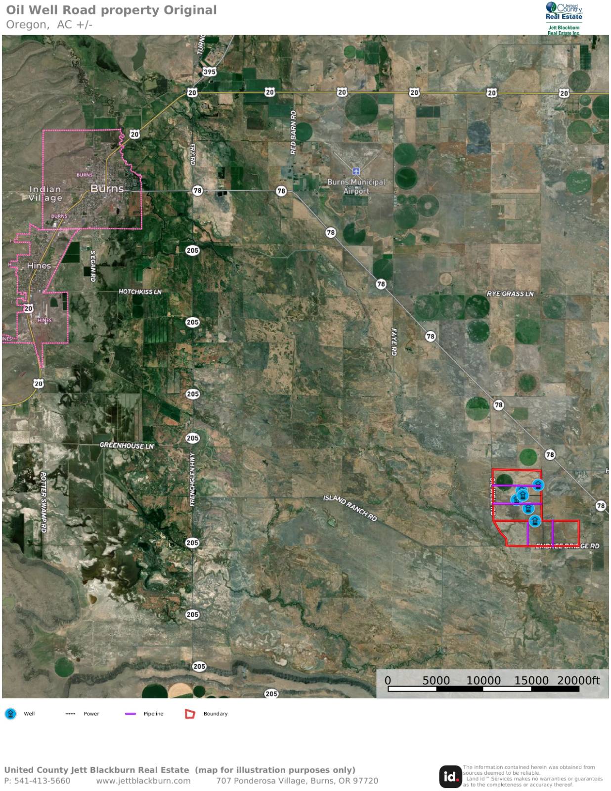
TBD Oil Well Rd, Burns, OR 97720

15 Photos
 
$170,000
Active for Sale
205.00 Acres
 
Listing ID 11258550
Property Type Vacant Land
County Harney
Township T24S R30E W.M. SEC 9 & 16 TL 3100
Total Tax $2,387
FEMA Flood Map fema.gov/portal
Associated Documents
DOCUMENTFact Sheet
 
Virtual Tour

Eastern Oregon Acreage

This Eastern Oregon parcel presents an opportunity for you to create your own complete ranchette. Located roughly 15 minutes southeast of Burns & the nearest amenities, access is available off Highway 78 on two county roads of Embree Bridge & Oil Well Rd. The perimeter of the property is enclosed by perimeter fencing & the land was recently planted into triticale hay. Throughout the acreage there are various locations of wells and where power can be found making various potential homesites for buyers. The current owner is in the process of splitting the acreage into 3-205+/- acre parcels allowing for development, see the map for further information regarding utilities and parcels. With the distance from town & the size of the acreage Buyers have a great opportunity to create their own ranchette with the peace & quiet of the high desert. TAX LOT MAPS: T24S R30E W.M. SEC 9 & 16 TL 3100, ACREAGE: 614.86+/- Deeded (3 parcels of approx. 205+/-acres), UTILITIES: Power & wells - See map for reference, TAXES: $2,386.65 (This will be different subject to partition), PRICE: $170,000 per parcel
Land Details
  • 3 Lots
  • 205.00 Acres
Taxes and Fees
  • $2,387 Total Tax
Listed By
Jett Blackburn Real Estate Inc.
Office: 541-413-5777
Jett Blackburn Real Estate Inc.
Office: 541-413-5774
Request More Information
Request Showing
Your Preferred Date & Time
Showing Type:
Listing data is deemed reliable but is NOT guaranteed accurate.
Contact Us
Who Would You Like to Contact Today?

I want to contact an agent about this property!

I wish to provide feedback about the website functionality

Contact Agent
Your Name:
Email:
Phone:
Message:
Security: What is 10 minus 5?